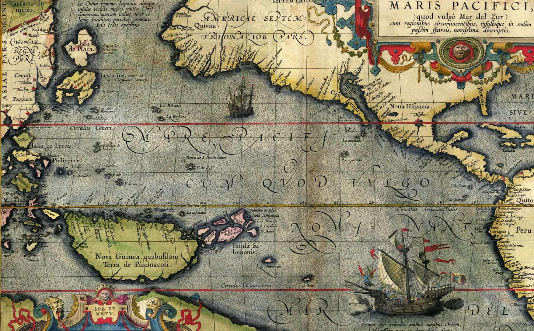
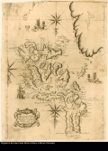
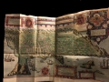
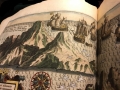
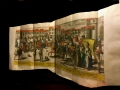
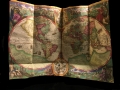
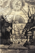
The Spanish Pacific
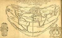
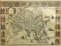
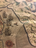
This image demonstrates that, for the Spanish, the West Indies—Yndias ocidentales— and regions of the entire Pacific Ocean flowed together, all part of a "new world" they controlled. Note the lines of "de marcation" established by the Vatican dividing the globe between the Spanish and the Portuguese empires.
This page has paths:
- Gallery Andrea Ledesma
- Asia-Pacific in the Making of the Americas: Toward a Global History Caroline Frank
Contents of this path:
- Spanish Manila and the Conquest of Asia
- The Chinese of Manila and Formation of America’s First Chinatown
- Science Across the Pacific: The Scientific Ideas and Books of the First Augustinians and Dominicans in the Philippines
- The Japanese in Mexico: Japanese Merchants in Seventeenth-Century Guadalajara
- The Chinese Mestizos of Spanish Colonial Manila: Becoming "Filipino" or "Chinese" under American Colonial Rule
Contents of this tag:
- English and French Seek Pacific Route to Asia
- Hennepin's Nouvelle France, 1783
- Indias Ocidentales, 1601 (1575)
- Japanese Sailing Map
- Carta Hydrographica y Chorographica de las Yslas Filipinas — Sangley Details
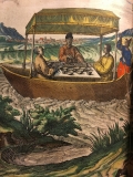
- Merchants Eating In a Boat
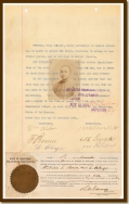
- Will of Juan de Páez
- Hennepin’s North America, 1698
- Planta de las Islas Filipinas Detail, 1699
- Sangley Rebellion
- Descripcion de las Indias del Poniente
- Francisco Felipe Faxicura
- General Map, 1576
- Cobo's Crab in the Shilu
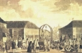
- Clergy and Tradesmen, 1596
- The Life of St. Francis Xavier : Apostle of the Indies and Japan
- 1634 Japanese Red Seal Ship
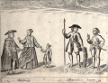
- Spanish military, 1570
- Planta de las Islas Filipinas, 1699
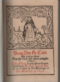
- Bilingual pages of Cobo's Beng Sim Po Cam
- Historia general, 1601
- Signature of Luis de Encio
- 1618 Chinese Map of the Philippines
- Cobo's Shilu cover page, 1593
- European geocentric cosmology
- Large Map of Asia
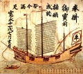
- Chinese Chuan
- Intramuros, Manila, 1571
- Juan Cabo's Eclipse
- Ships Near Port
- Image of a Port
- Santo Tomas Libreria, 1887
- Chinese Merchants
- Interior of a Spanish Galleon
- Image of Ships on the Pacific Ocean
- Port in Acapulco
- The Pacific Ocean with Flying Fish
- Descripcion de las Yndias del Ocidentales by Antonio de Herrera y Tordesillas
- The Parían Market, from Itinerario
- Linschoten's Map of the World
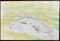
- Manila Bay, 1685
- Chinese Merchants
- The San Juan Bautista
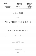
- Schurman Commission Document, 1900
- Conquest of the Philippines, 1698
- Juan Cabo, 19th Century
- Map depicting the bay of Acapulco in 1632, detailing Japanese ship
- Wong Kim Ark’s Departure Statement, 1894
- Potosi
- Cardona's legend for map of Acapulco bay
- Ships Near Port
- Documentation of Hasekura’s Roman Citizenship
- Nicolai Copernicus's de Revolvtionibus orbium coelestium, 1543
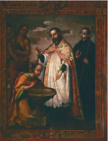
- Juan Correa, "St. Francis Xavier Baptizing" c. 1700
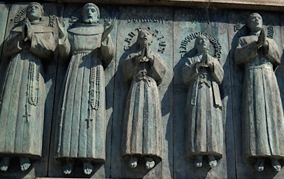
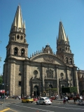
- Guadalajara Cathedral
- Parían Market
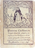
- Doctrina Cristiana, 1593
- 1608 Red Seal License
- Beng Sim Po Cam
- Carta Hydrographica y Chorographica de las Yslas Filipinas — Mestizo Details
 try 2_thumb.jpg)