The U.S. Army Corps of Engineers
Army Corps of Engineers and Resettlement
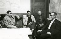
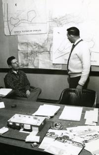
Between April and September of 1961, the Army Corps surveyed and mapped our lands. This survey was to map the flowage and clearing easements of the Allegany Reservoir. From this survey, the Army Corps drew up maps of our land that they were taking for the reservoir and of the proposed resettlement areas, Jimersontown and Steamburg.In May of 1961 the Army Corps and the Seneca Nation began negotiating the individual land owner boundaries of those maps.