Maps
Story Maps
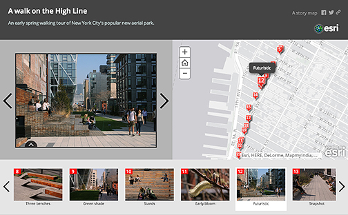
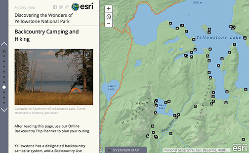
Story Maps is a free, online platform enabling users to create rich informational environments in which interactive maps are linked to responsive multimedia panels. Users can choose between a number of different templates or "apps." For example, Story Map Tour presents a sequential, place-based narrative in the form of a series of geotagged photos and captions linked to an interactive map; Story Map Journal lets one create a compelling map-based narrative presented as a set of journal entries; and Story Map Swipe displays either two separate web maps or two layers of a single web map in order to compare one map with another. There are many others to choose from.Click here to see how to embed Story Map or other third party material into a Scalar page.
Neatline
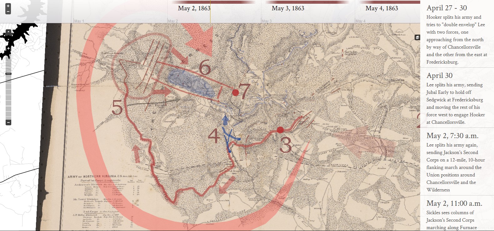
Neatline, hailed as a "geotemporal exhibit-builder," allows users to plot and annotate artifacts (letters, photographs, paintings; any visual material) on maps as well as link particular views of those maps (and thus artifacts) to events in a timeline. Neatline is perfect for creating a narrative sequence of geo-referenced events supported by user-accessible artifactual evidence.Click here to see how to embed Neatline or other third party material into a Scalar page.
This page has paths:
- Third Party Plugins and Platforms Curtis Fletcher