Profiles of selected Kansas counties' mobility Feb. - Dec. 2020 (from Google Mobility Data)
By Shalin Hai-Jew, Kansas State University
To help humanity deal with SARS-CoV-2 / COVID-19 with the best data possible, Google LLC has captured global information for its "Google COVID-19 Community Mobility Reports." The data are global but also hyperlocal. More information about the data documentation is available, too. The basic thinking is that lockdowns lead to less mobility and fewer opportunities for human contacts, which are risky in a time of a global pandemic with a pathogenic agent that is highly transmissible through air and respiratory droplets and fomite transfer. Mobility data are valuable for general awareness and some inferential analysis.
This addendum contains some data visualizations from the Google mobility data downloaded on Dec. 11, 2020.
Please click on "Details" for a closer view of the data visualizations.
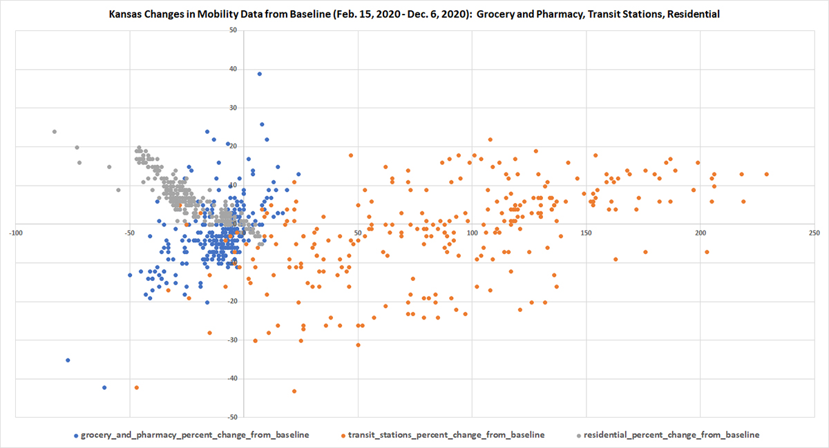
Changes in Mobility in Kansas During First Eleven Months of COVID-19 Pandemic
Figure 1. Kansas Changes in Mobility Data from Baseline (Feb. 15, 2020 - Dec. 6, 2020): Grocery and Pharmacy, Transit Stations, Residential
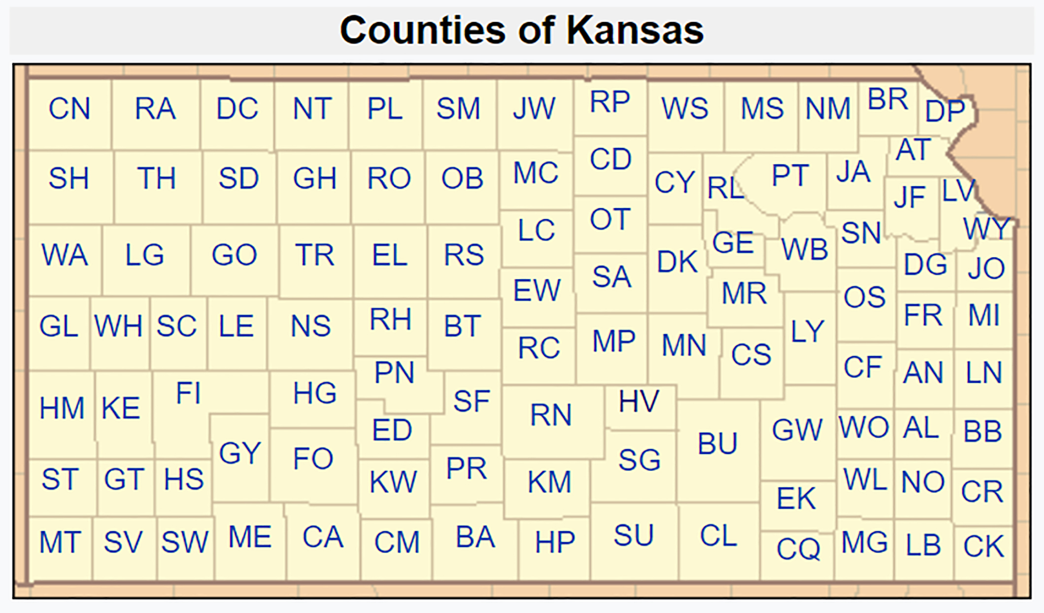
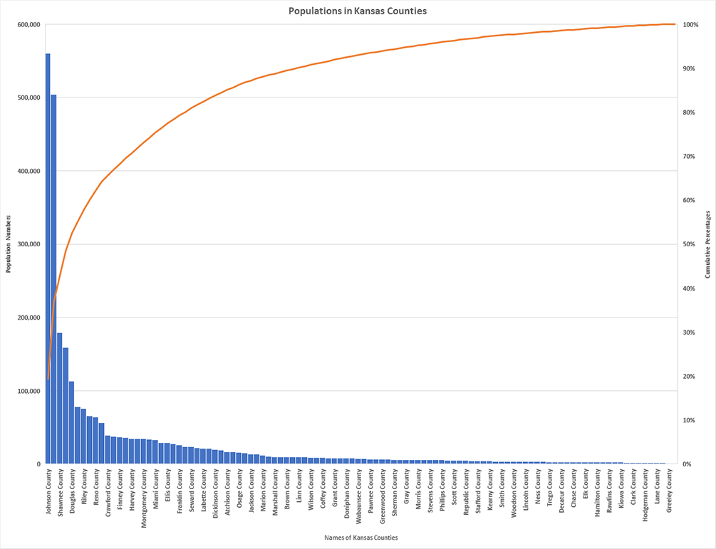
Kansas Counties
The data has some mobility information by county. Perhaps some hyperlocal information may be of interest.
Figure 2. Counties of Kansas Map (in Wikipedia)
Figure 3. Populations in Kansas Counties (pareto chart)
Changes in Mobility in Kansas Counties in First Eleven Months of the SARS-CoV-2 / COVID-19 Pandemic
There are gaps in available data. Data that did not meet quality standards were also omitted, so the datasets have empty cells. Baseline is 0. More travel is seen in the positive range; less travel is seen in the negative range.
Allen County
Figure 4. Allen County
Anderson County
Figure 5. Anderson County
Atchison County
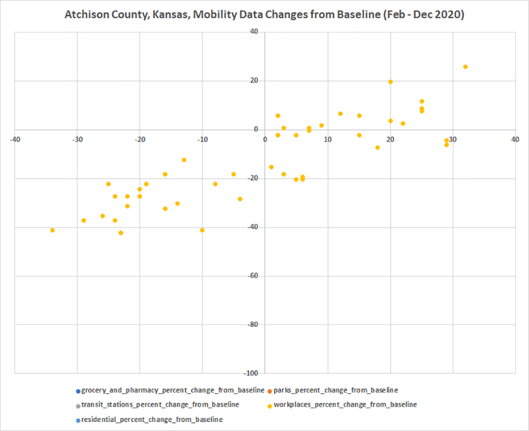
Figure 6. Atchison County
Barber County
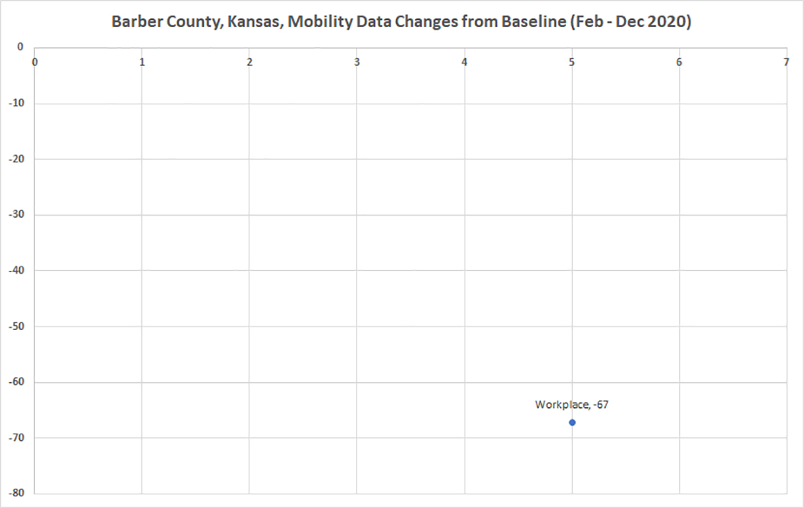
Figure 7. Barber County
Barton County
Figure 8. Barton County
Bourbon County
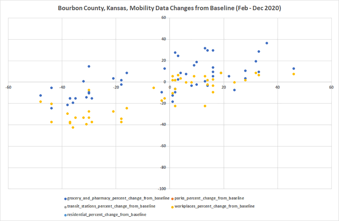
Figure 9. Bourbon County
Brown County
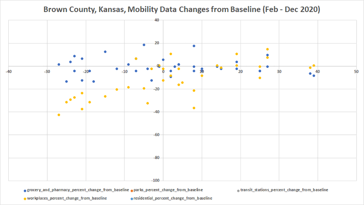
Figure 10. Brown County
Butler County
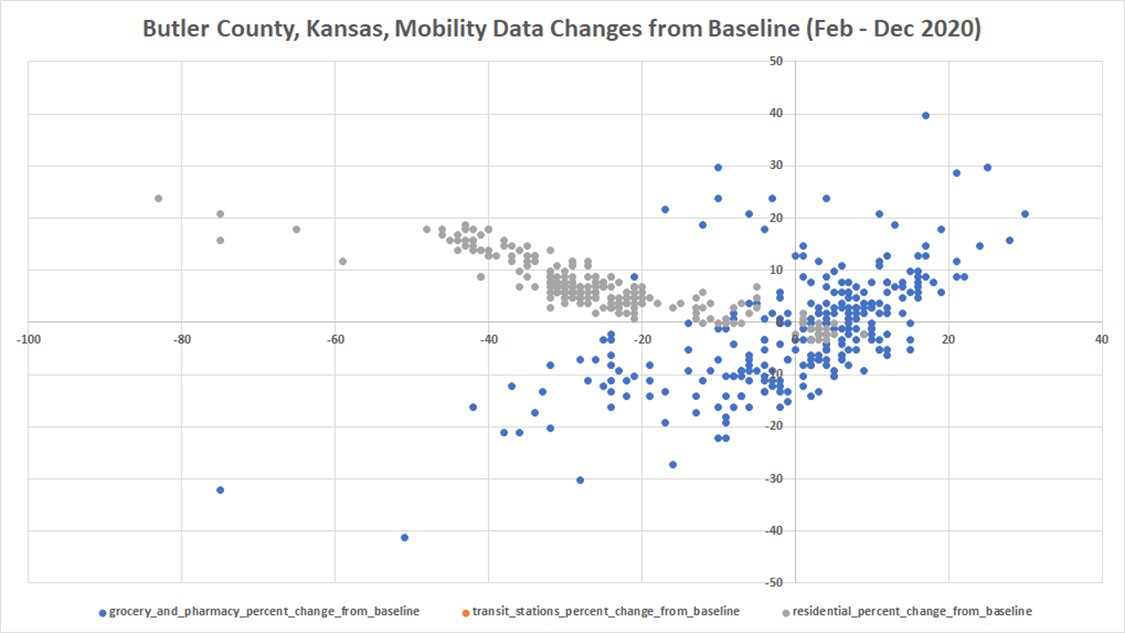
Figure 11. Butler County
Chase County
(unavailable)
Chautauqua County
(unavailable)
Cherokee County
Figure 12. Cherokee County
Cheyenne County
(unavailable)
Clark County
(unavailable)
Clay County
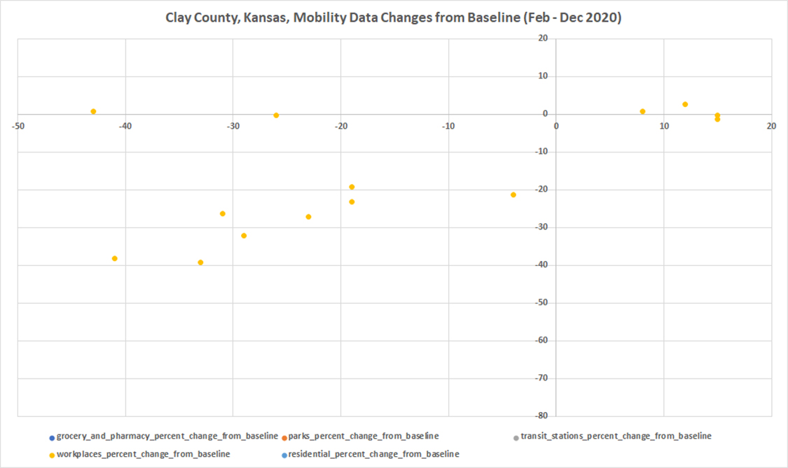
Figure 13. Clay County
Cloud County
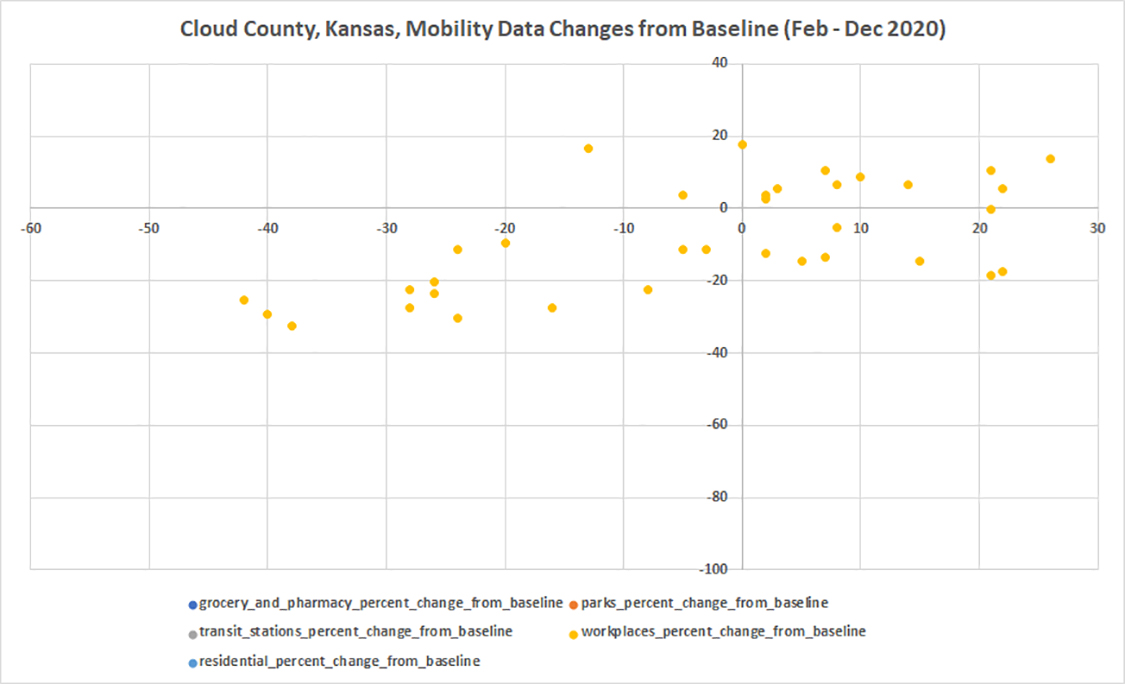
Figure 14. Cloud County
Coffey County
Figure 15. Coffey County
Comanche County
(unavailable)
Cowley County
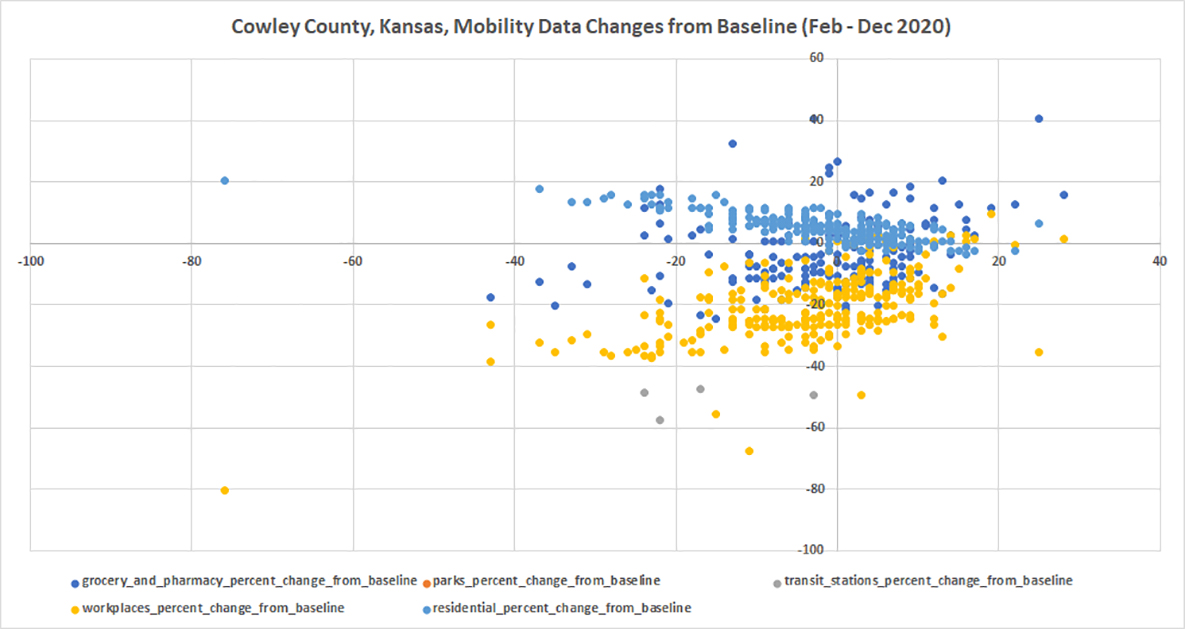
Figure 16. Cowley County
Crawford County
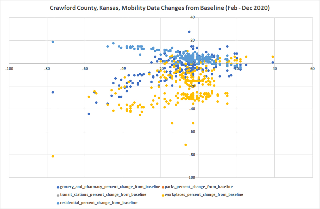
Figure 17. Crawford County
Decatur County
(unavailable)
Dickinson County
Figure 18. Dickinson County
Doniphan County
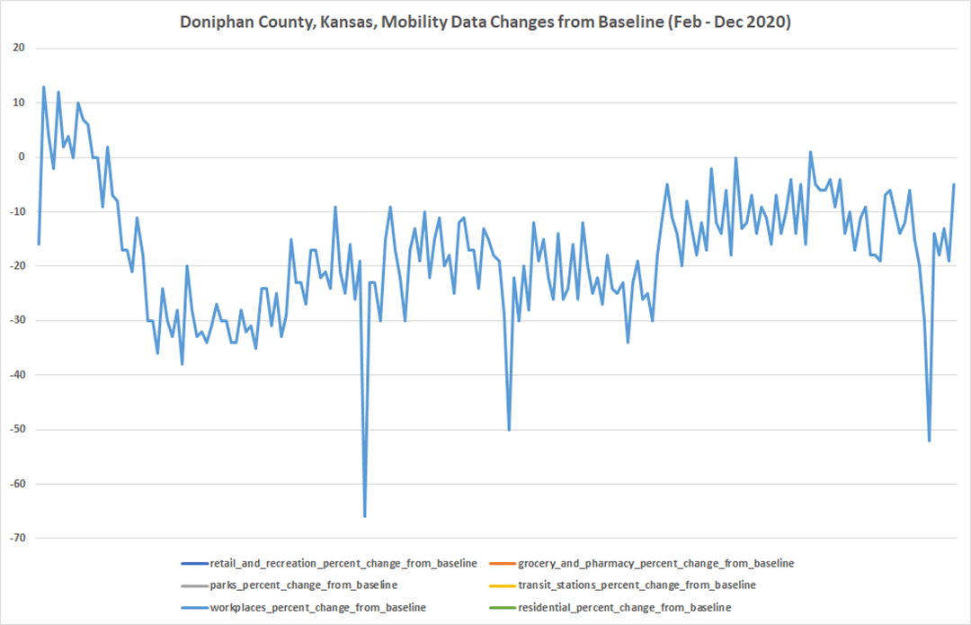
Figure 19. Doniphan County
Douglas County
Figure 20. Douglas County
Edwards County
(unavailable)
Elk County
(unavailable)
Ellis County
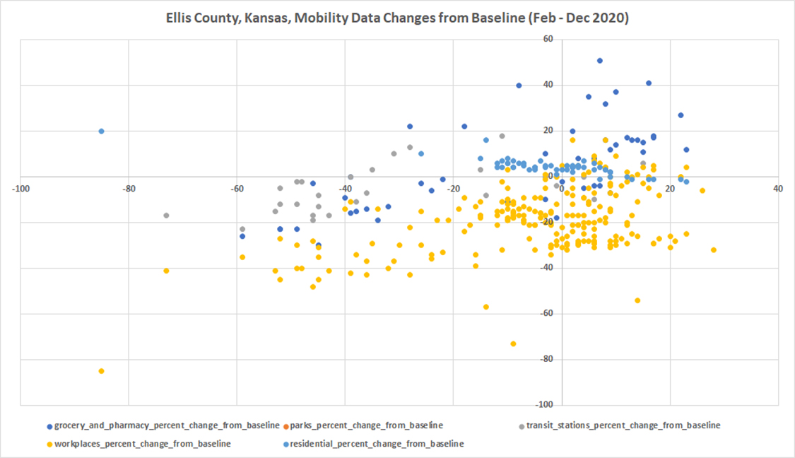
Figure 21. Ellis County
Ellsworth County
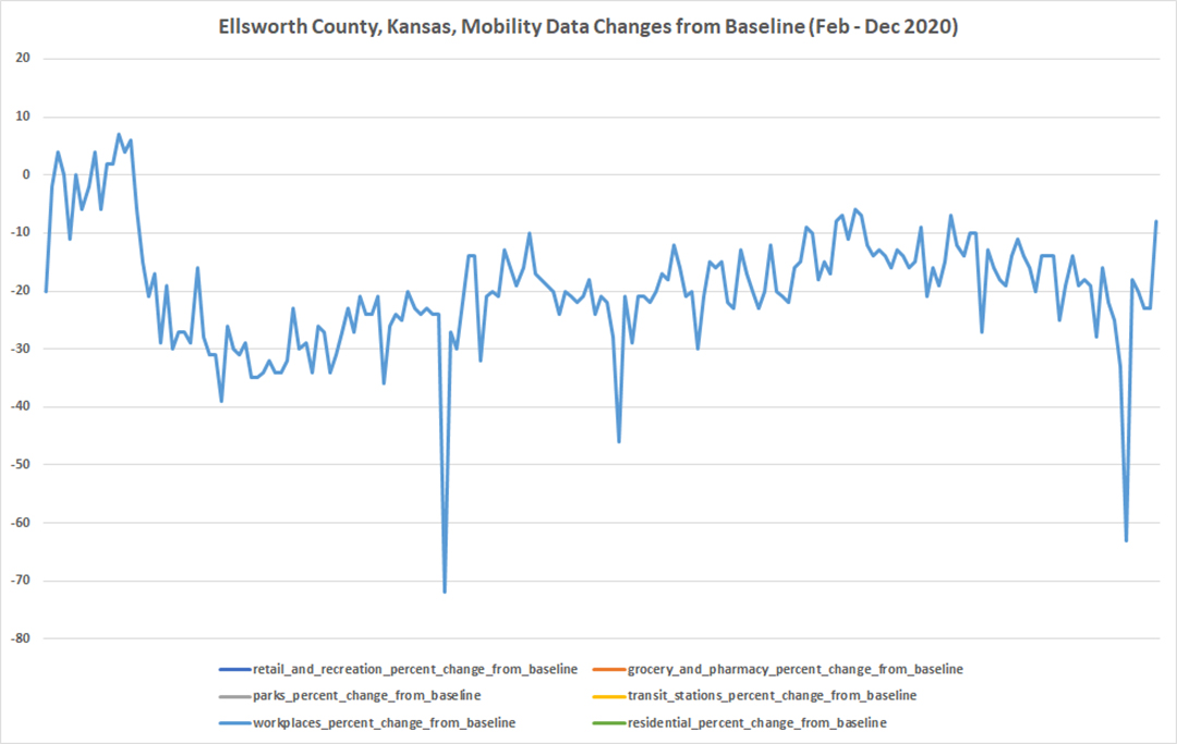
Figure 22. Ellsworth County
Finney County
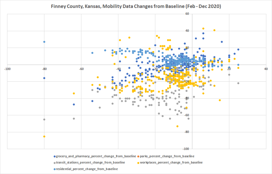
Figure 23. Finney County
Ford County
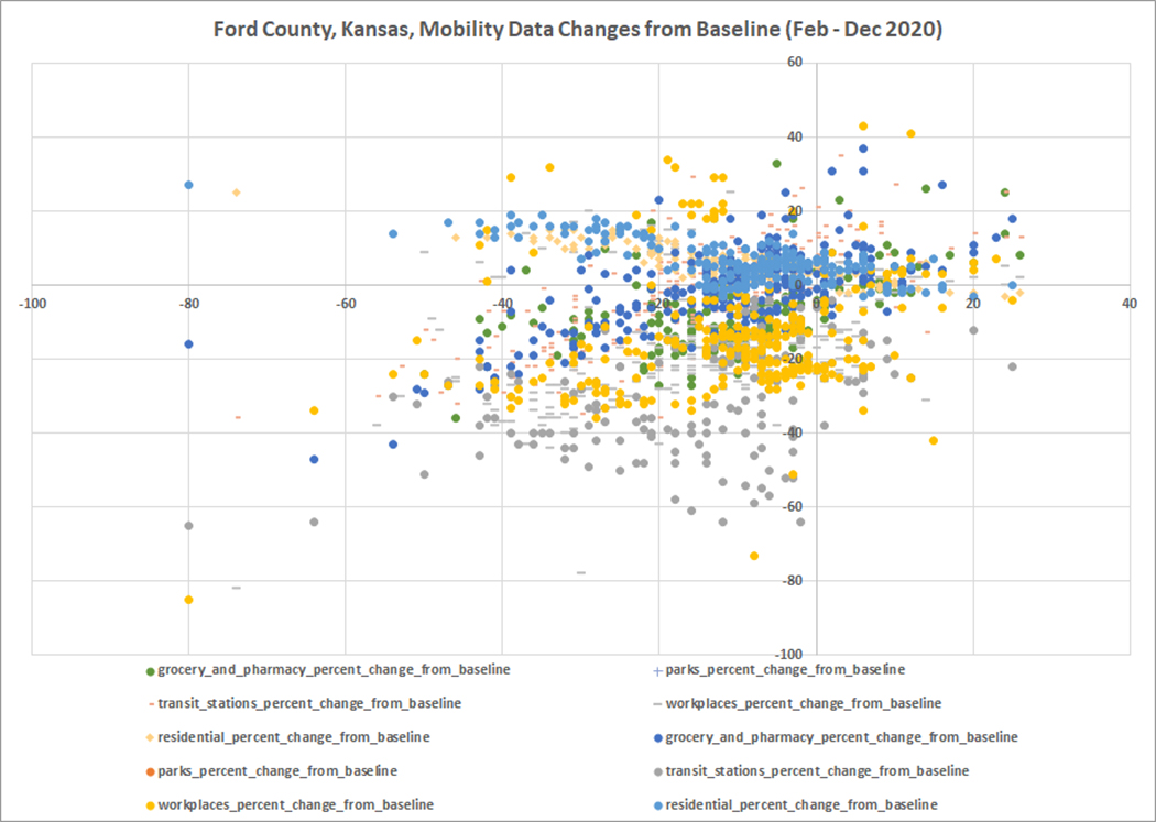
Figure 24. Ford County
Franklin County
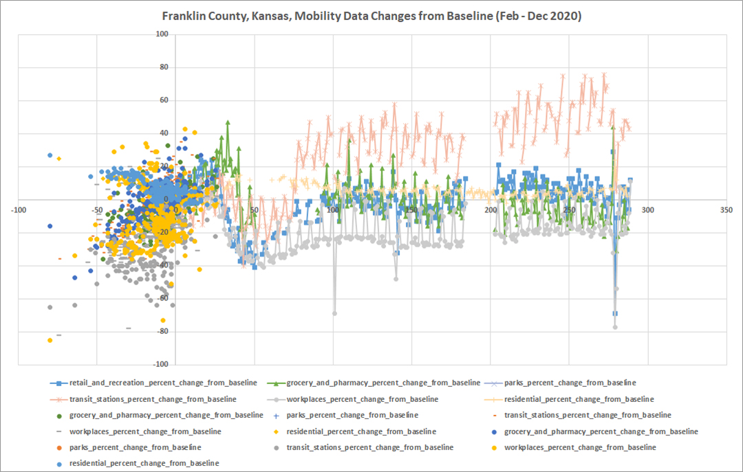
Figure 25. Franklin County
Geary County
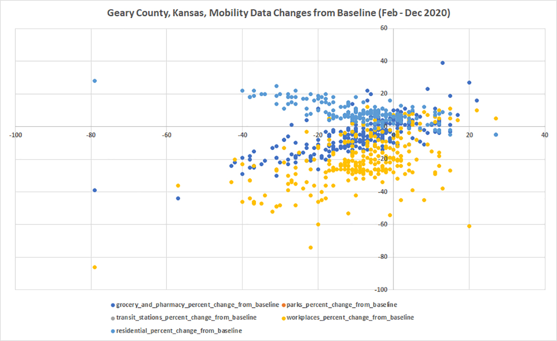
Figure 26. Geary County
Gove County
(unavailable)
Graham County
(unavailable)
Grant County
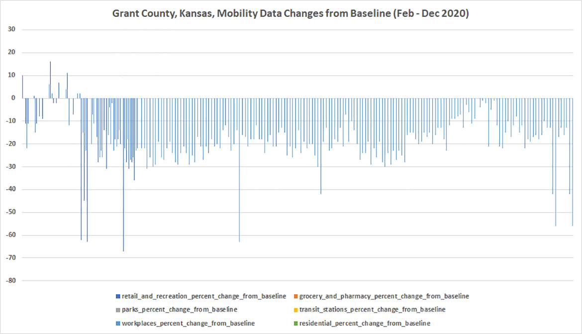
Figure 27. Grant County
Gray County
(unavailable)
Greeley County
(unavailable)
Greenwood County
(unavailable)
Hamilton County
(unavailable)
Harper County
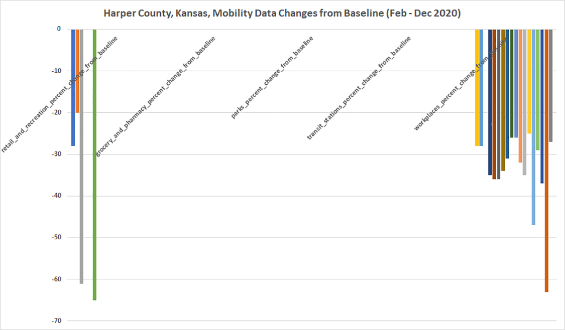
Figure 28. Harper County
Harvey County
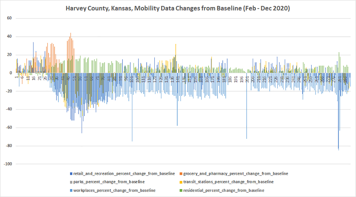
Figure 29. Harvey County
Haskell County
(unavailable)
Hodgeman County
(unavailable)
Jackson County
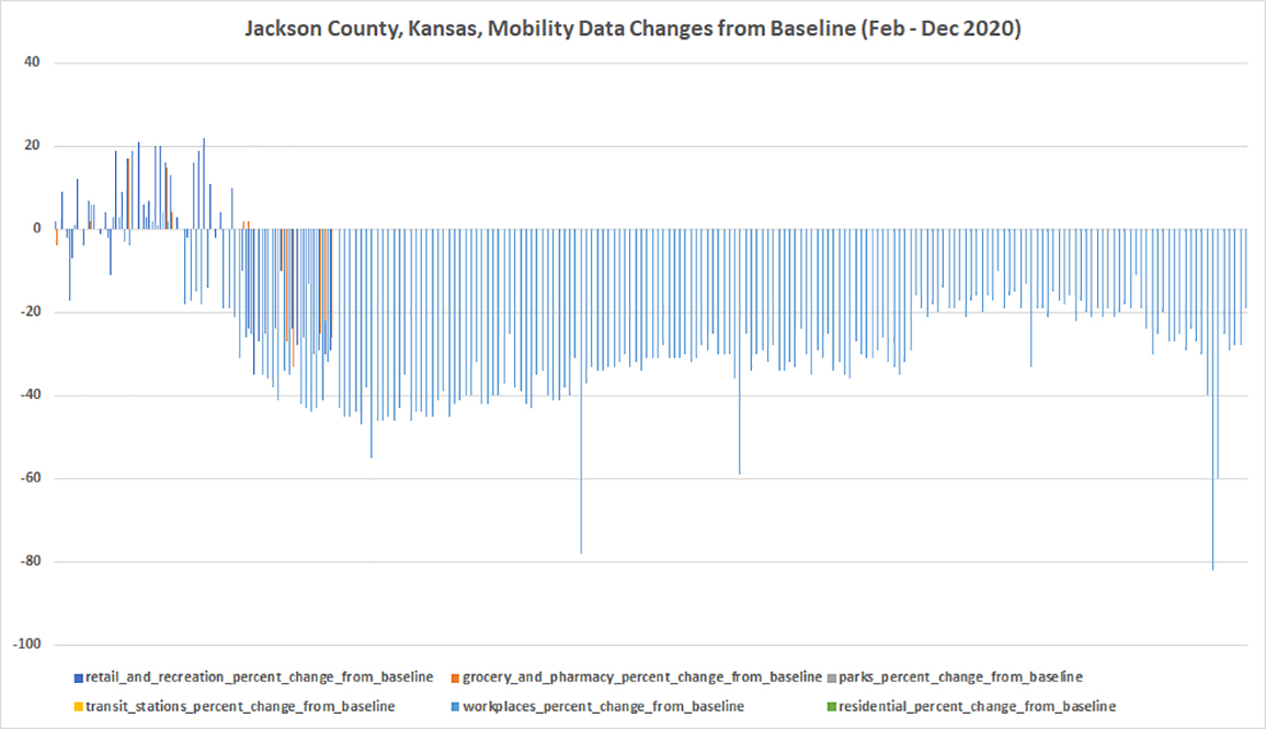
Figure 30. Jackson County
Jefferson County
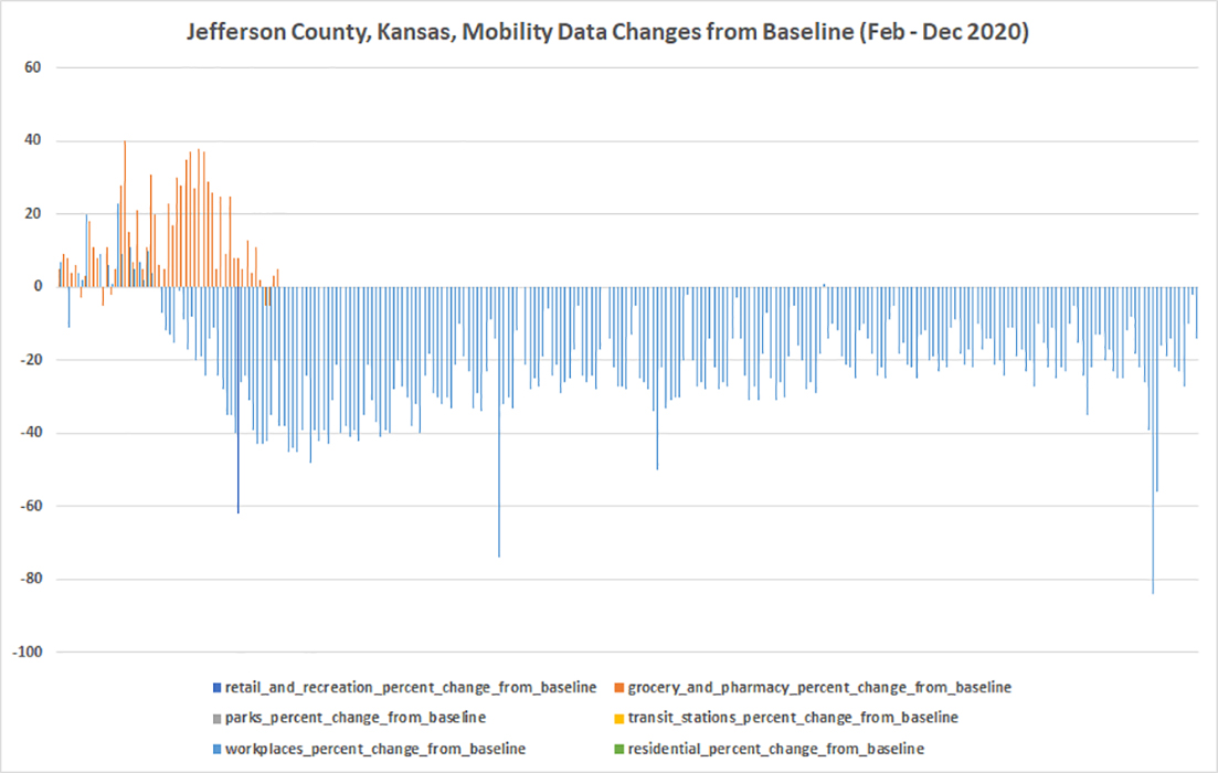
Figure 31. Jefferson County
Jewell County
(unavailable)
Johnson County
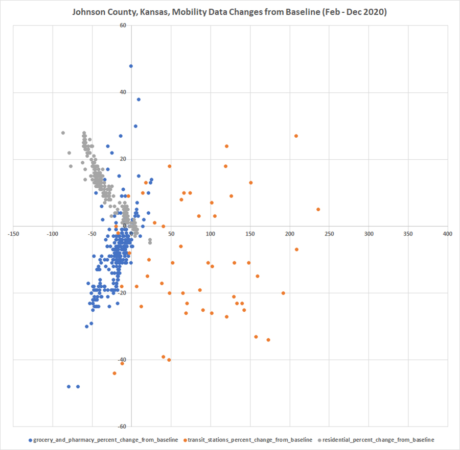
Figure 32. Johnson County
Kearny County
(unavailable)
Kingman County
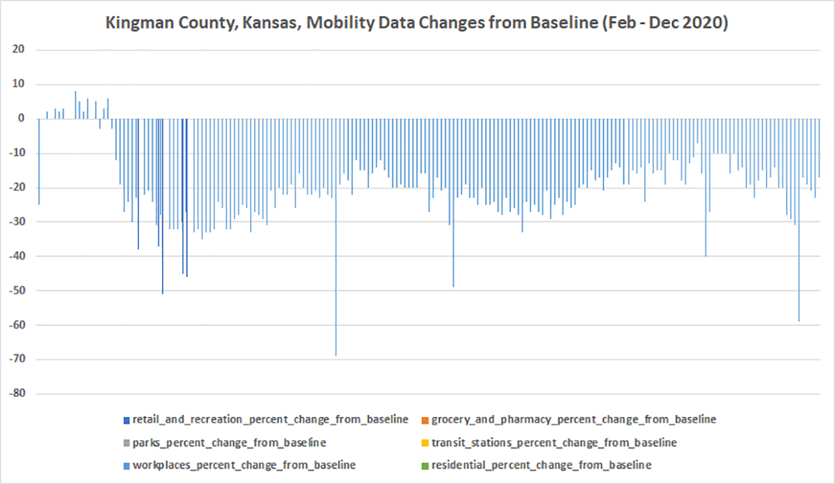
Figure 33. Kingman County
Kiowa County
(unavailable)
Labette County
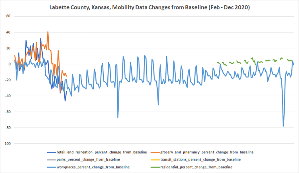
Figure 34. Labette County
Lane County
(unavailable)
Leavenworth County
Figure 35. Leavenworth County
Lincoln County
(unavailable)
Linn County
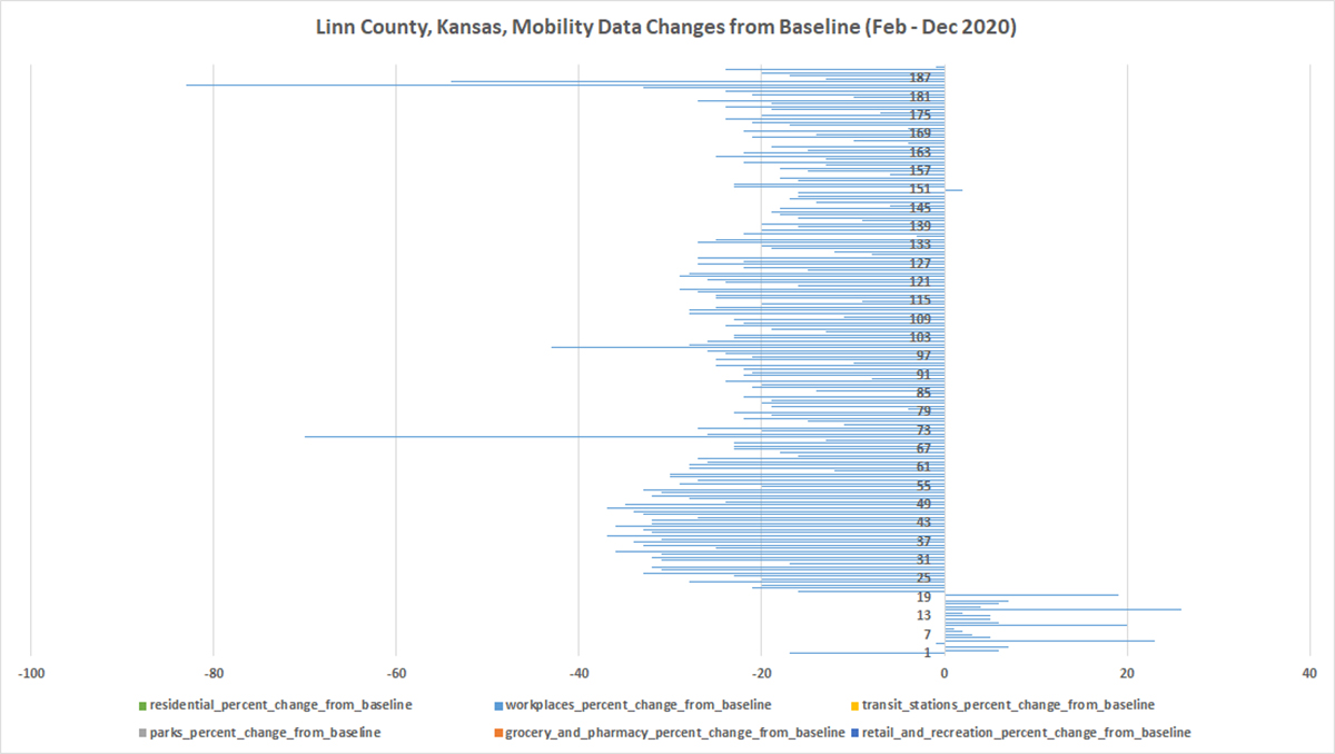
Figure 36. Linn County
Logan County
(unavailable)
Lyon County
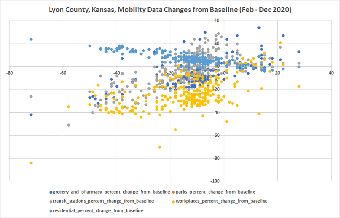
Figure 37. Lyon County
Marion County
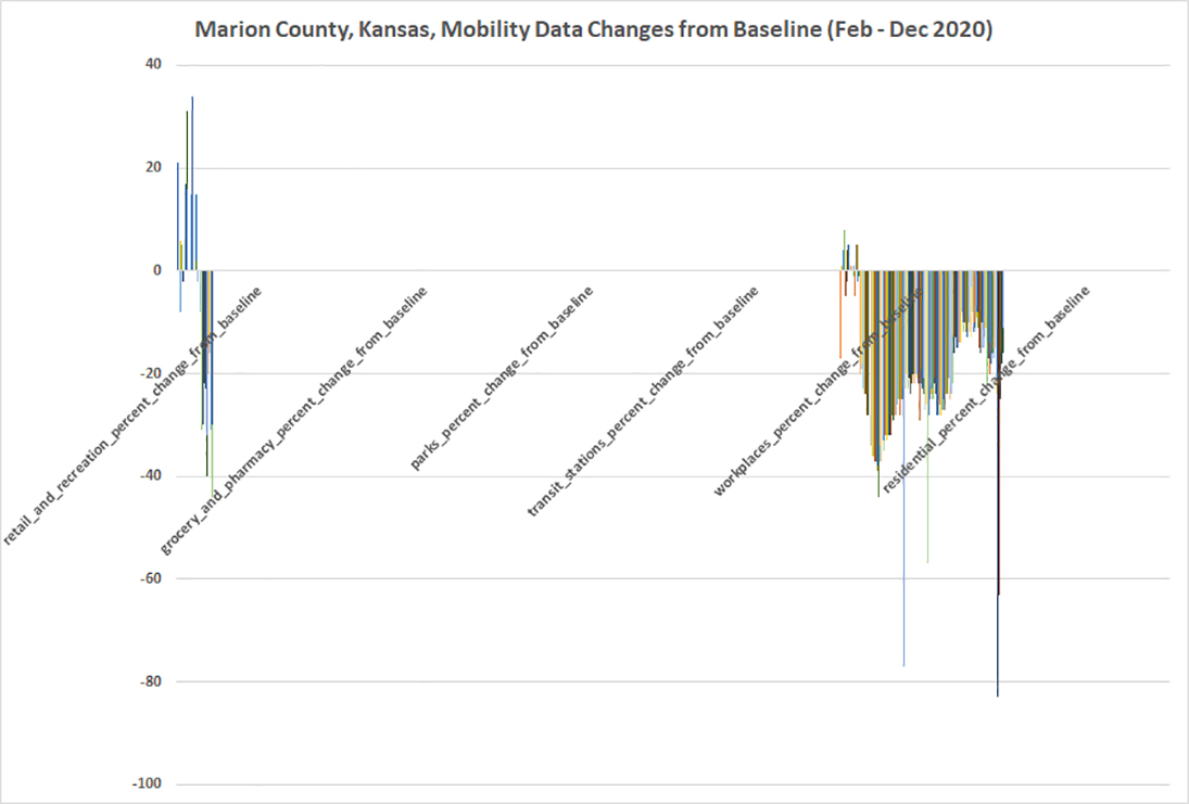
Figure 38. Marion County
Marshall County
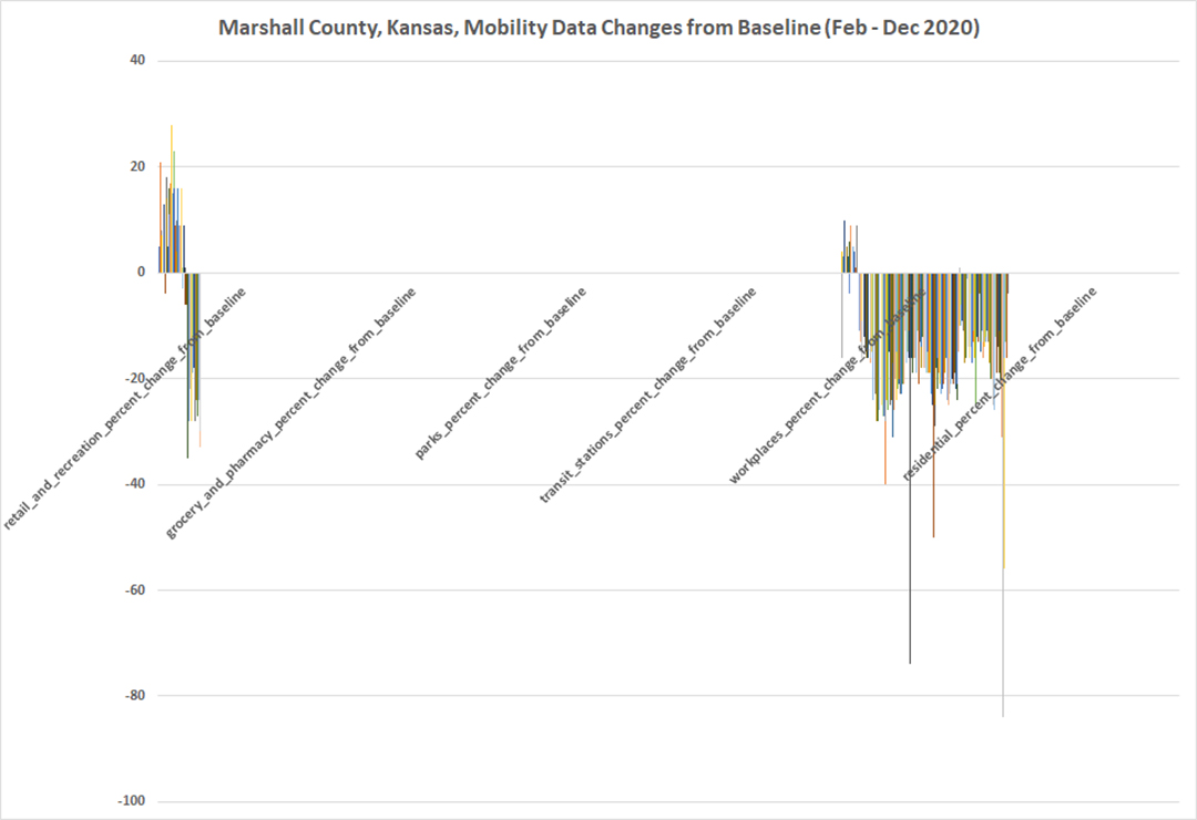
Figure 39. Marshall County
McPherson County
Figure 40. McPherson County
Meade County
(unavailable)
Miami County
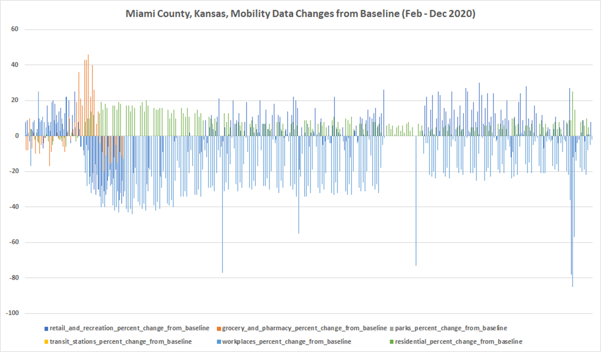
Figure 41. Meade County
Mitchell County
Figure 42. Mitchell County
Montgomery County
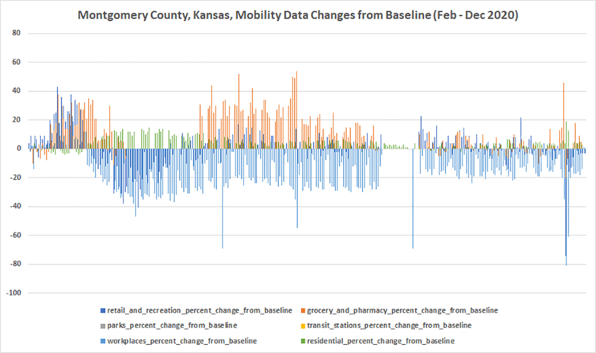
Figure 43. Montgomery County
Morris County
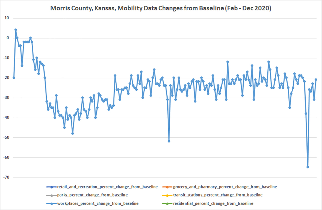
Figure 44. Morris County
Morton County
(unavailable)
Nemaha County
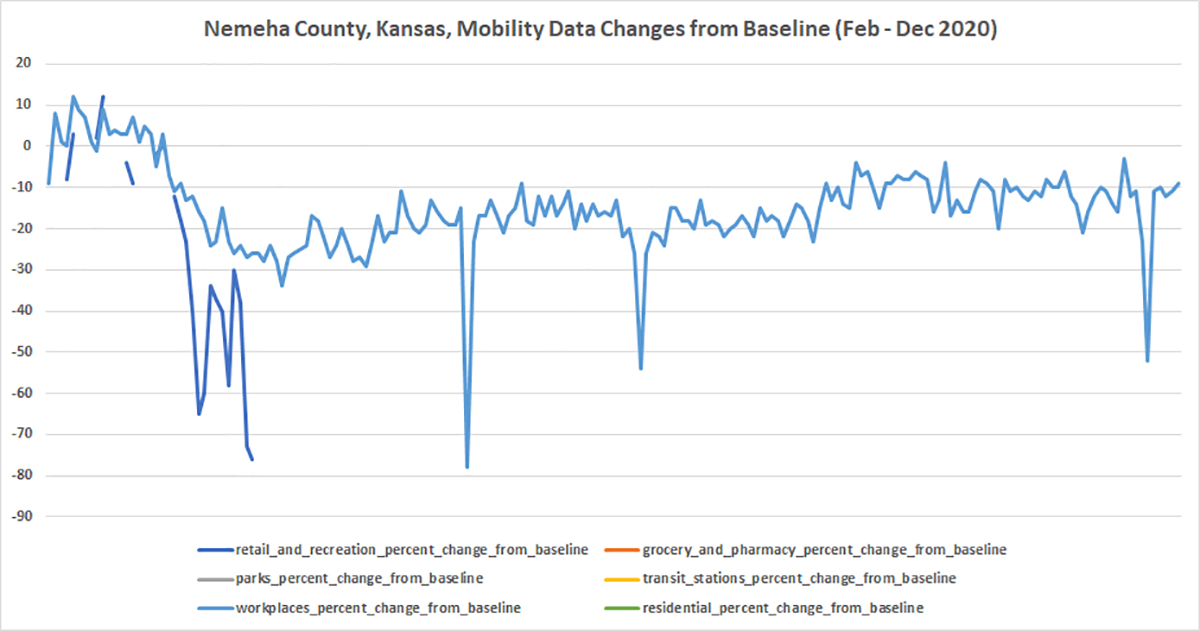
Figure 45. Nemeha County
Neosho County
Figure 46. Neosho County
Ness County
(unavailable)
Norton County
(unavailable)
Osage County
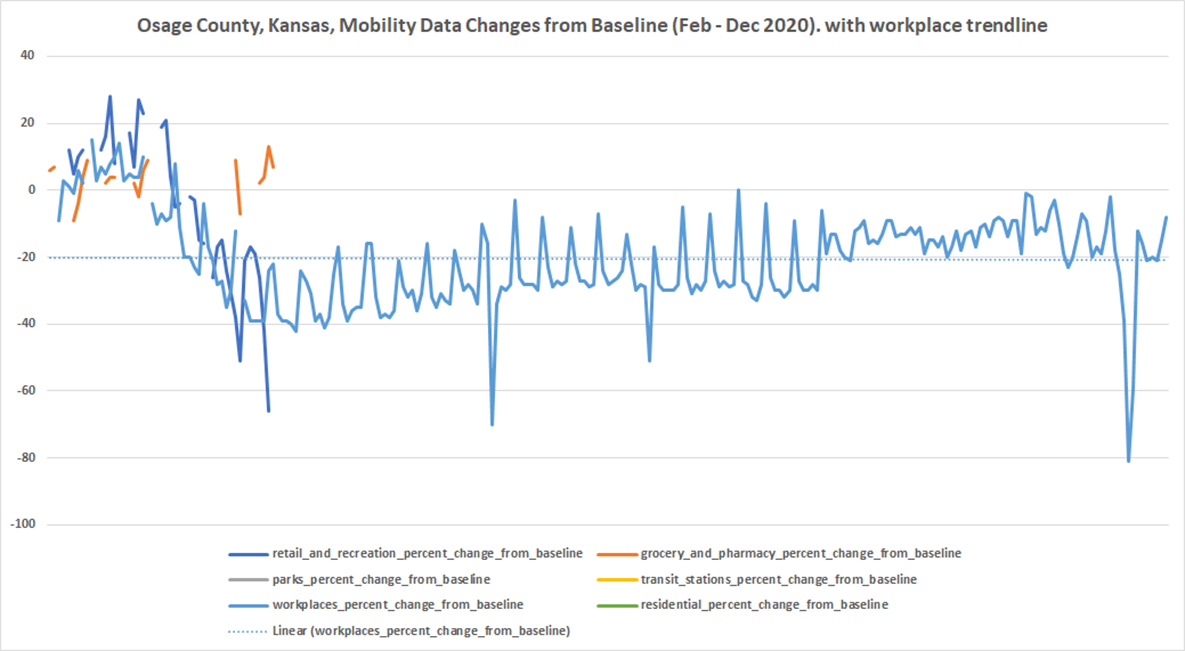
Figure 47. Osage County
Osborne County
(unavailable)
Ottawa County
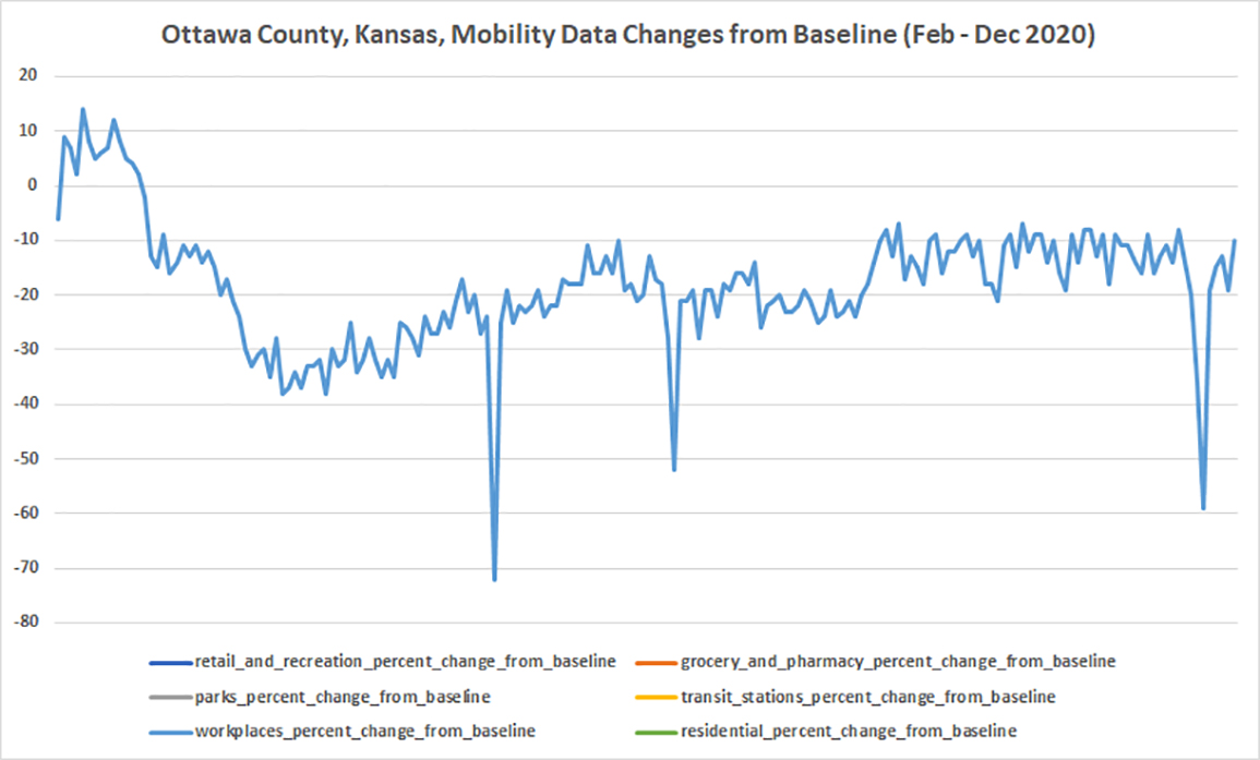
Figure 48. Ottawa County
Pawnee County
Figure 49. Pawnee County
Pottawatomie County
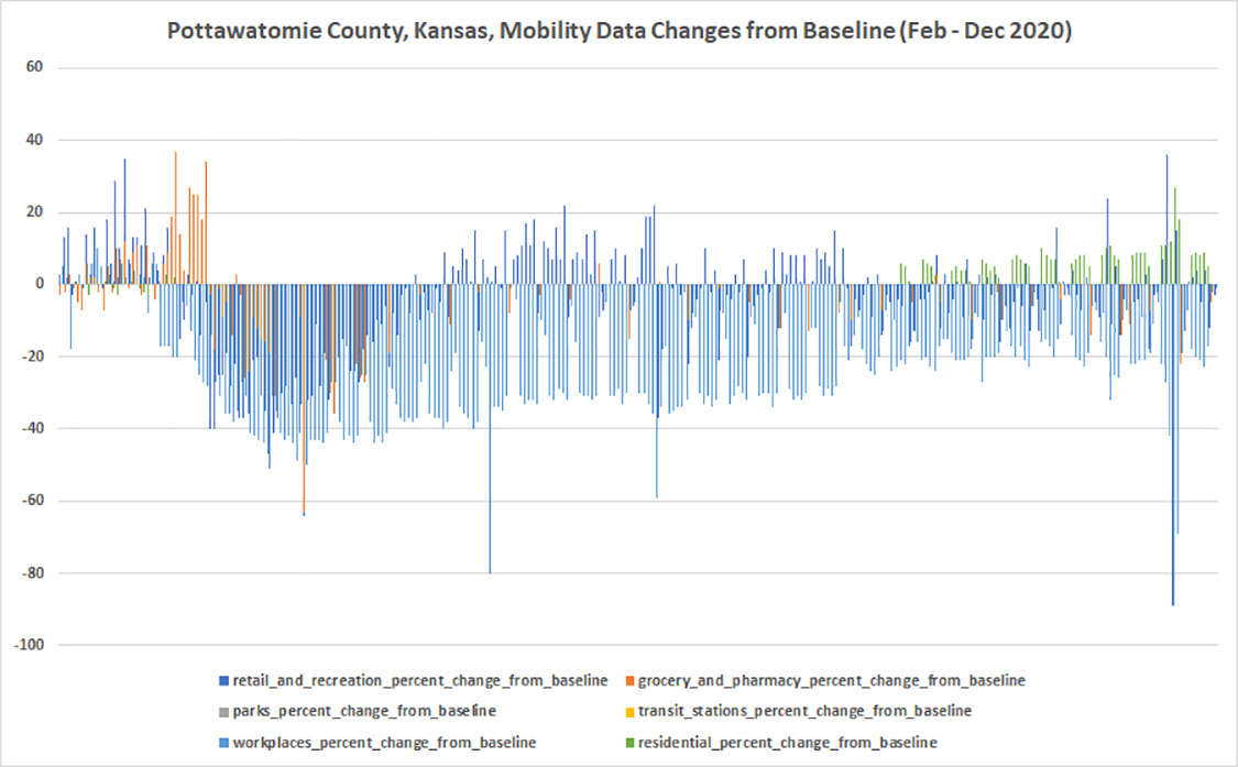
Figure 50. Pottawatomie County
Pratt County
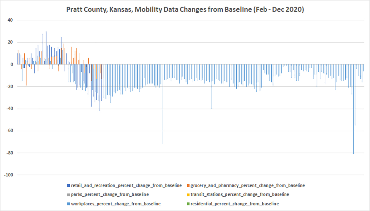
Figure 51. Pratt County
Rawlins County
(unavailable)
Reno County
Figure 52. Reno County
Republic County
(unavailable)
Rice County
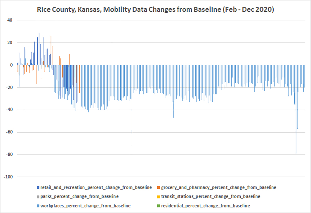
Figure 53. Rice County
Riley County
Figure 54. Riley County
Rooks County
(unavailable)
Rush County
(unavailable)
Russell County
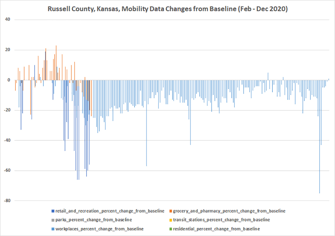
Figure 55. Russell County
Saline County
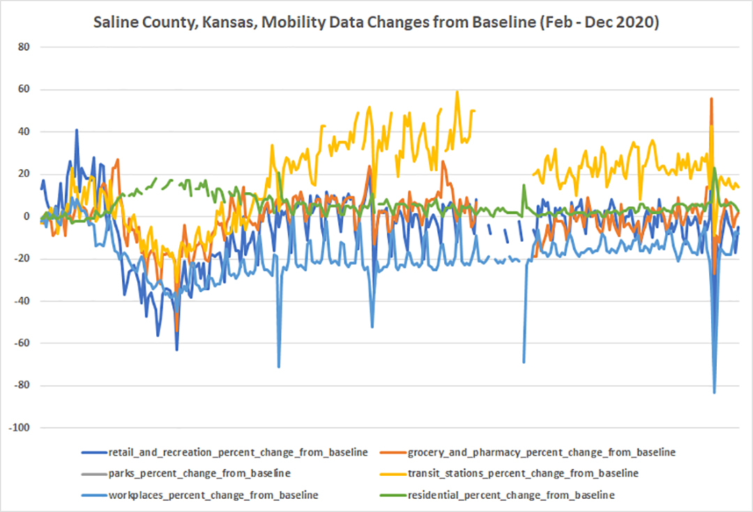
Figure 56. Saline County
Scott County
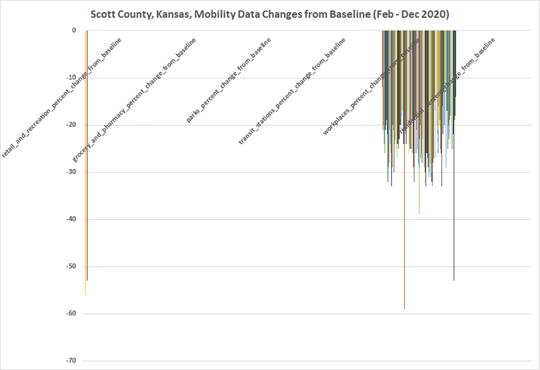
Figure 57. Scott County
Sedgwick County
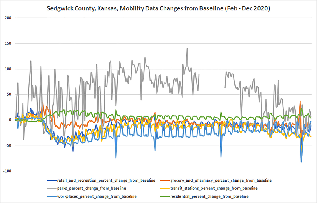
Figure 58. Sedgwick County
Seward County
Figure 59. Seward County
Shawnee County
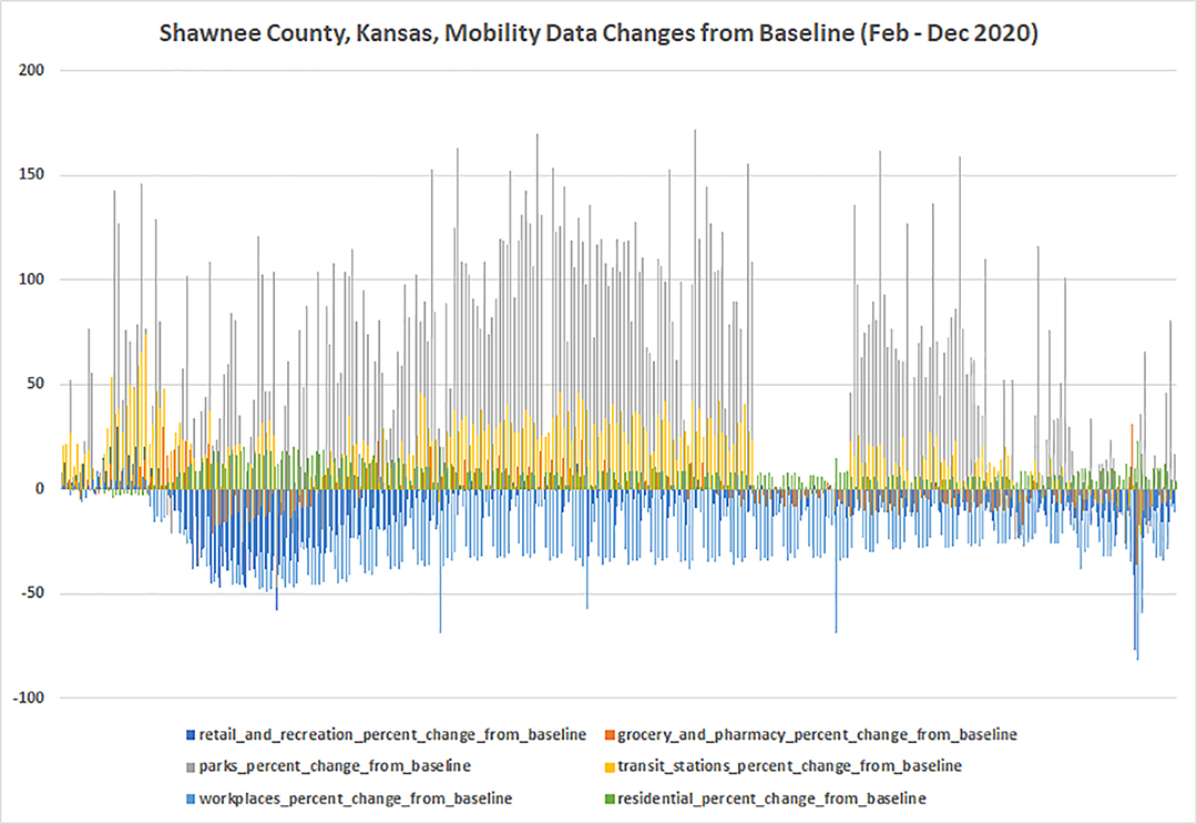
Figure 60. Shawnee County
Sheridan County
(unavailable)
Sherman County
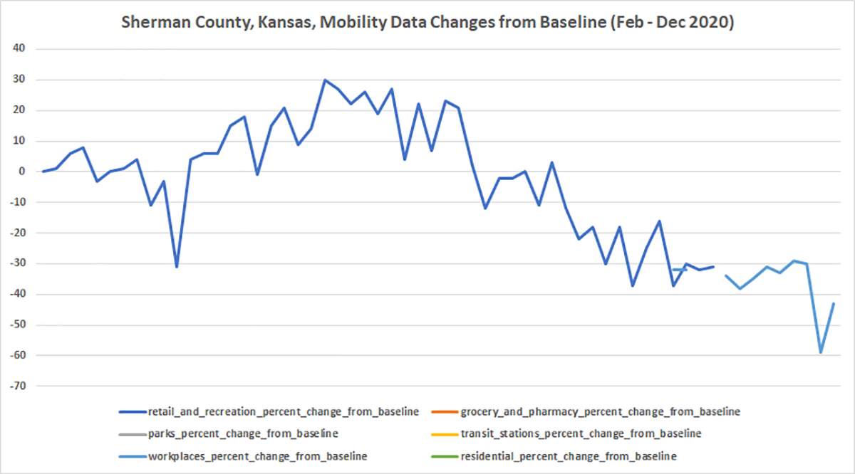
Figure 61. Sherman County
Smith County
(unavailable)
Stafford County
(unavailable)
Stanton County
(unavailable)
Stevens County
Figure 62. Stevens County
Sumner County
Figure 63. Sumner County
Thomas County
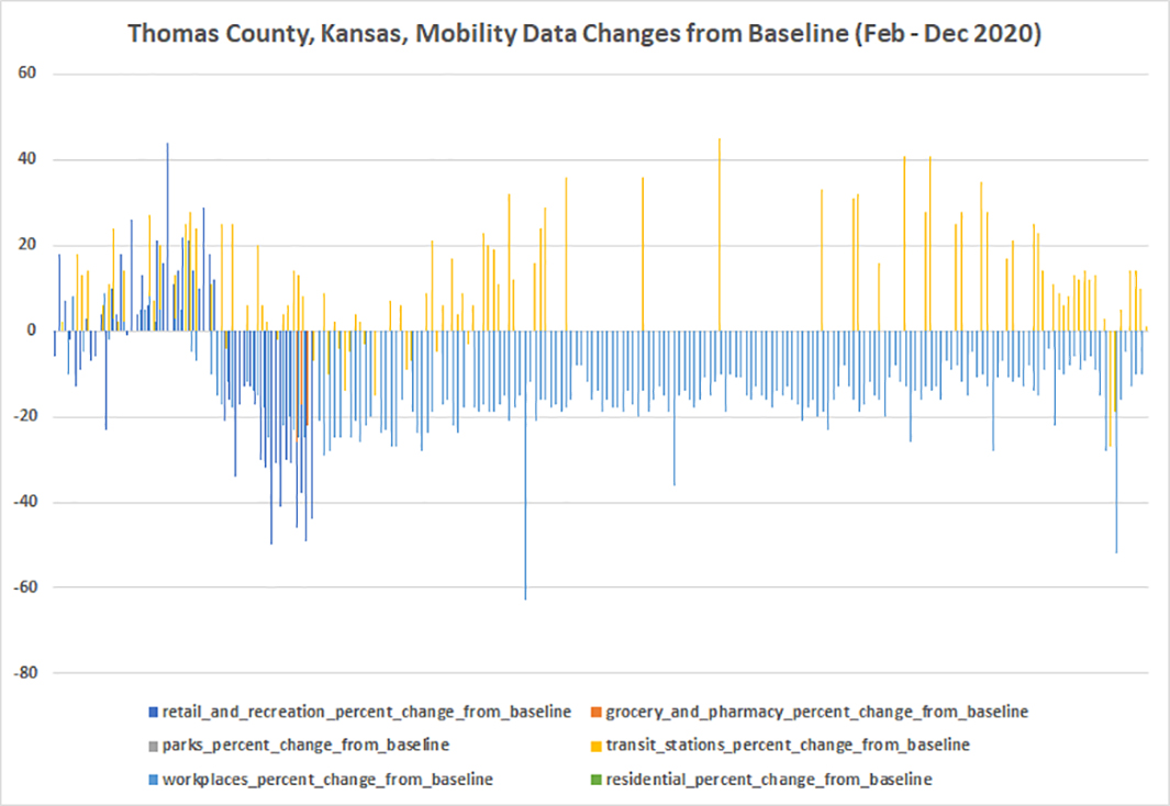
Figure 64. Thomas County
Trego County
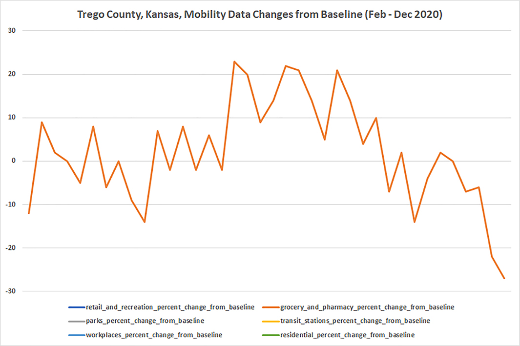
Figure 65. Trego County
Wabaunsee County
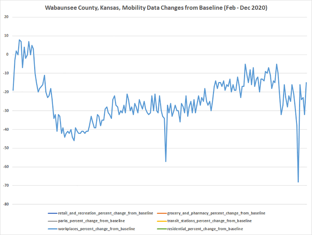
Figure 66. Wabaunsee County
Wallace County
(unavailable)
Washington County
Figure 67. Washington County
Wichita County
(unavailable)
Wilson County
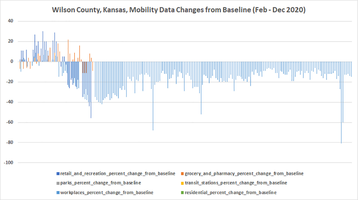
Figure 68. Wilson County
Woodson County
(unavailable)
Wyandotte County
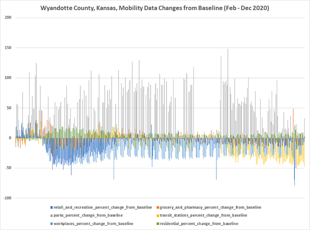
Figure 69. Wyandotte County
These data show various communities wising up at various times in the pandemic. Some have fast starts, others less so. Many can hold the line of minimizing mobility and possible proxemic contacts to others. Optimally, they also practiced social distancing, facial masking, hand hygiene, avoidance of indoor congregate settings with others, and other proper precautions. Experts are suggesting that the next 2-3 months are critical in this pandemic.
References
“Counties of Kansas.” (2020, July 17). Wikipedia. Retrieved Dec. 11, 2020, from https://en.wikipedia.org/wiki/List_of_counties_in_Kansas.
Google LLC "Google COVID-19 Community Mobility Reports".
https://www.google.com/covid19/mobility/ Accessed: <Dec. 11, 2020>.
About the Author
Shalin Hai-Jew works as an instructional designer and researcher at Kansas State University. She may be reached at shalin@ksu.edu.
| Previous page on path | C2Cers in the present moment: An oral history, page 25 of 25 | Path end, return home |
Discussion of "Profiles of selected Kansas counties' mobility Feb. - Dec. 2020 (from Google Mobility Data)"
Add your voice to this discussion.
Checking your signed in status ...