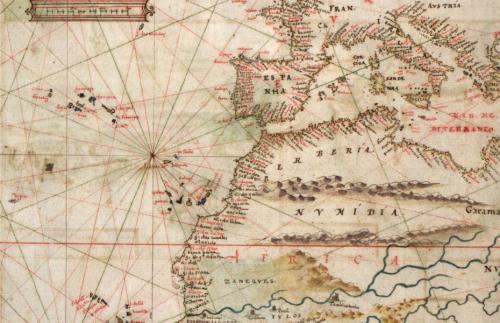
Maps
The composite map below visualizes the data from all five eras, covering the years 1122-1700.
In addition to plotting over six centuries worth of information, this map depicts four layers:
- Author Origins (orange)
- Author Travels (red)
- Textual Origins (blue)
- Kingdom Locations (polygons, shaded according to the year ascribed to the Prester John sighting).
- Author Origins (orange): author name, century, birth/death dates, occupation
- Author Travels (red): dates of relevant travel, city of origin, occupation, location when writing about Prester John, locale that author visited that is furthest away from city of origin
- Textual Origins (blue): name of text (in English), name of text (original), century, approximate date of composition, terminus ante quem, original manuscript language, number of extant manuscripts of text, and translation languages.
- Kingdom Locations (polygons): century, year ascribed to Prester John observation, proposed location of John’s kingdom, name of John’s kingdom (if applicable), names or titles ascribed to the figure other than Prester John (if applicable), and contemporary historical resonances (if applicable).
While the composite map illustrates something of the sheer volume of Prester John data available as well as the legend’s global reach, it does not tell much of a story in itself. In the following section, I will break this data down in a series of focused maps organized by what I will henceforth refer to as “eras” of the legend. In the following sections, I will use these maps to help tell the global story of Prester John.