Barrio Suburbanism Map: Reshaping Metropolitan Geographies
1 2016-05-19T19:08:00-07:00 Genevieve Carpio cbaef6f4fe1847cc774ee8ef5c2d6efb0a58fda3 460 3 Mapping Project plain 2016-05-19T19:18:40-07:00 Genevieve Carpio cbaef6f4fe1847cc774ee8ef5c2d6efb0a58fda3This page has paths:
- 1 #162bd4 2013-04-30T15:36:18-07:00 Genevieve Carpio cbaef6f4fe1847cc774ee8ef5c2d6efb0a58fda3 Digital Humanities Genevieve Carpio 43 plain 2016-05-21T01:37:59-07:00 Genevieve Carpio cbaef6f4fe1847cc774ee8ef5c2d6efb0a58fda3
This page is referenced by:
-
1
#162bd4
2013-04-30T15:36:18-07:00
Digital Humanities
36
plain
2016-05-19T20:34:06-07:00
The digital humanities is a critical tool for connecting students to historical investigation and racial formation. As a professor of Chican@ Studies at UCLA, my courses build upon an interdisciplinary list of readings and multimedia sources. The projects highlighted here examine the ways race and ethnicity are embedded in 21st century technologies and seek to build students' digital literacy. Through project-based learning assignments--including collaborative maps, blogs, and multimedia projection--students are encouraged to become active agents in the digital landscape.
My training at the Institute for Media Literacy at the USC Cinema School (including "Teaching with Digital Media," "Digital Pedagogies," and "Digital Media Tools and Tactics") serves as a foundation to this work. I have continued to build my digital literacy through GIS training at Yale and UCLA, as a participant in THATCamp, and presenting on the uses of digital media in the classroom at the American Studies Association, the National Council on Public History, and the Huntington-USC Institute on California and the West. In doing so, I seek to guide students through the process of writing, organizing, and sharing public facing projects.
Select "Begin this path: Digital Humanities" to follow this path or select "Next page on path" to continue: -
1
2016-05-24T22:21:23-07:00
Barrio Suburbanism Multimedia Map: Reshaping Metropolitan Geographies
4
plain
2016-05-24T22:29:16-07:00
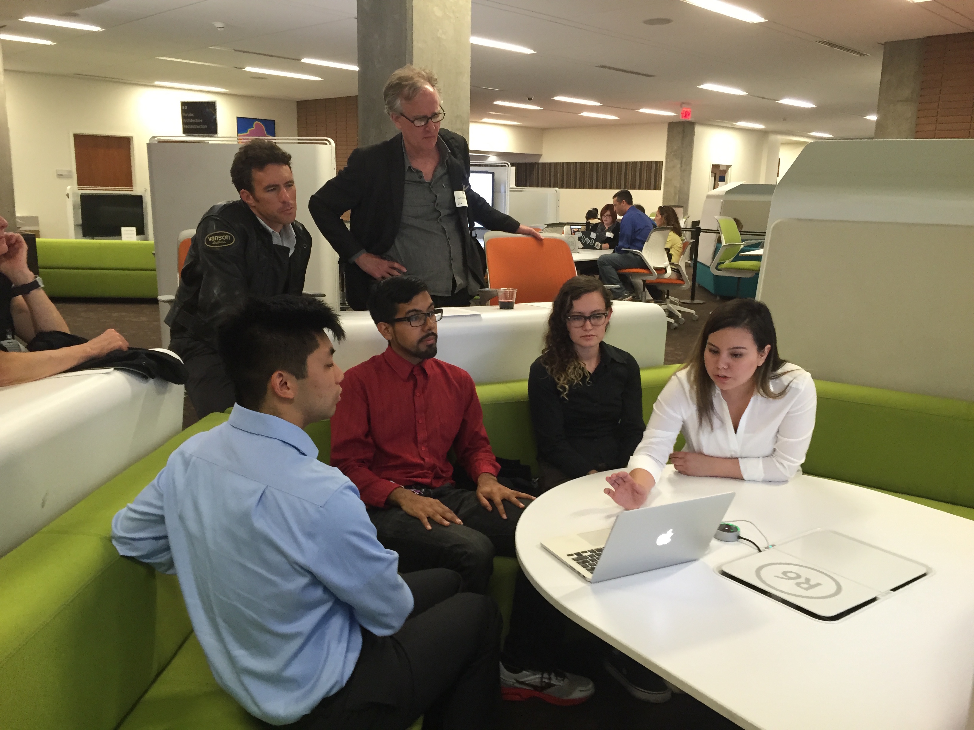
The Barrio Suburbanism map is a collaborative research project created by undergraduate students at UCLA in the Department of Chicana and Chicano Studies during the Winter of 2016. Combining archival research, personal photography, census data, fieldwork, geolocating key sites, and a review of secondary sources, students have assembled a metropolitan story of Latino/a (sub)urbanization. Taken together, their investigations underscore themes of community formation, immigration, education, art, and public space within the frameworks of (sub)urban studies and planning history.Their work adds a new primary source that can be used to contextualize national trends, in which Latino/as--immigrant and non-immigrant alike--are increasingly choosing suburbs and rural areas as their sites of settlement. As the first major metropolitan area in the nation to historically double its non-white suburban population, this question is particularly important to investigate in Los Angeles. Together, we ask, how does Chicano/a and Latino/a (sub)urbanism shape metropolitan space? What do individual suburbs reveal about broader (sub)urbanization processes impacting Chicano/a and Latino/a communities? And, what lessons does this bird’s-eye perspective hold for those seeking to promote metropolitan equity?
This project uses the Boulevardier framework developed by UCLA scholar Dawn Childress and USC librarian Nathan Day, as well as a Map Marker icon developed by Berkay Sargin of the Noun Project. This is a front-end-only application that delivers TEI-encoded content to your webserver. It was developed using GitHub, a free web-based hosting site and collection of open source software. Each author contributed five XML files with site analysis, visual references, coordinates, and bibliographic sources related to five sites within a suburb of their choosing. -
1
2016-05-19T19:10:34-07:00
Barrio Suburbanism
1
plain
2016-05-19T19:10:34-07:00
- The Barrio Suburbanism map is a collaborative research project created by undergraduate students at UCLA in the Department of Chicana and Chicano Studies during the Winter of 2016. Combining archival research, personal photography, census data, fieldwork, geolocating key sites, and a review of secondary sources, students have assembled a metropolitan story of Latino/a (sub)urbanization. Taken together, their investigations underscore themes of community formation, immigration, education, art, and public space within the frameworks of (sub)urban studies and planning history.
- Their work adds a new primary source that can be used to contextualize national trends, in which Latino/as--immigrant and non-immigrant alike--are increasingly choosing suburbs and rural areas as their sites of settlement. As the first major metropolitan area in the nation to historically double its non-white suburban population, this question is particularly important to investigate in Los Angeles. Together, we ask, how does Chicano/a and Latino/a (sub)urbanism shape metropolitan space? What do individual suburbs reveal about broader (sub)urbanization processes impacting Chicano/a and Latino/a communities? And, what lessons does this bird’s-eye perspective hold for those seeking to promote metropolitan equity?
- This project uses the Boulevardier framework developed by UCLA scholar Dawn Childress and USC librarian Nathan Day, as well as a Map Marker icon developed by Berkay Sargin of the Noun Project. This is a front-end-only application that delivers TEI-encoded content to your webserver. It was developed using GitHub, a free web-based hosting site and collection of open source software. Each author contributed five XML files with site analysis, visual references, coordinates, and bibliographic sources related to five sites within a suburb of their choosing. You can learn more about the authors by selecting Contributors from the Main Menu.