As I Remember It: Teachings (Ɂəms tɑɁɑw) from the Life of a Sliammon ElderMain MenuTerritoryPeople of the LandColonialismResilience in the Face of Racism and ConflictCommunityLiving TogetherWellnessCaring for Body, Mind, and SpiritThe Sliammon LanguageHow We CommunicateOur ProcessMaking This BookFeatures and ResourcesWays to Use This BookAbout This BookUBC PressAs I Remember It - Peer Review Copy – Pub. March 29, 20192019-03-29T07:55:01-07:00As I Remember It - Peer Review Copy – Pub. March 22, 20192019-03-22T13:09:31-07:00
This map of southern British Columbia and northwestern Washington shows the location of places mentioned in this book.
Select a numbered marker and place name to explore content referencing the location.
This page has paths:
12017-11-01T10:09:49-07:00Crystal Chan99590786580aa343605c172dc9dd1d991dfa67d1Features and ResourcesAnonymous47Ways to Use This Bookimage_header2022-01-19T14:50:41-08:00Anonymous
Contents of this path:
12018-09-14T19:19:14-07:00AnonymousBainbridge Island8google_maps2020-03-04T07:17:36-08:0047.646257° N, -122.543529° WCrystal Chan99590786580aa343605c172dc9dd1d991dfa67d1
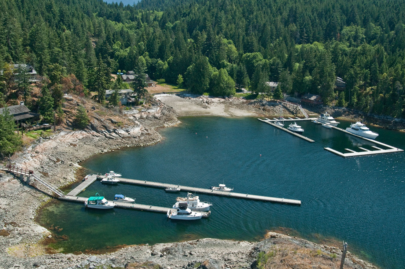
12018-10-22T19:33:28-07:00Anonymousqɛgišɛyɩn (Bliss Landing)11google_maps2021-12-24T10:21:37-08:0050.035852° N, -124.815316° WAnonymous
12018-09-14T19:14:30-07:00AnonymousCampbell River9google_maps2020-03-05T05:57:39-08:0050.033337° N, -125.273312° WCrystal Chan99590786580aa343605c172dc9dd1d991dfa67d1
12018-09-14T19:14:53-07:00AnonymousCape Mudge (Quadra Island)6google_maps2020-03-04T13:56:03-08:0049.997002° N, -125.193876° WCrystal Chan99590786580aa343605c172dc9dd1d991dfa67d1
12018-09-14T19:15:24-07:00AnonymousChilliwack5google_maps2020-03-04T16:33:31-08:0049.156690° N, -121.964970° WCrystal Chan99590786580aa343605c172dc9dd1d991dfa67d1
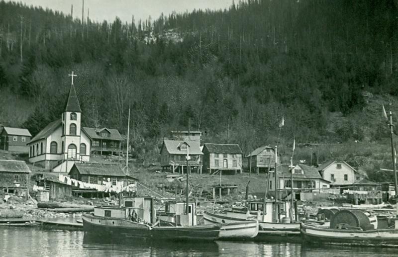
12018-09-14T19:17:25-07:00Anonymousʔoʔp (Church House village)13google_maps2021-12-24T10:22:36-08:0050.334263° N, -125.066495° WAnonymous
12019-05-21T20:41:23-07:00AnonymousCochrane Bay15google_maps2020-03-04T17:02:35-08:0050.043929° N, -124.777483° WCrystal Chan99590786580aa343605c172dc9dd1d991dfa67d1
12018-09-14T19:13:37-07:00AnonymousComox6google_maps2020-03-05T05:34:52-08:0049.677317° N, -124.928556° WCrystal Chan99590786580aa343605c172dc9dd1d991dfa67d1
12018-09-14T19:04:32-07:00AnonymousDeep Bay8google_maps2021-12-24T10:27:11-08:0049.454081° N, -124.711120° WAnonymous
12018-09-14T19:09:49-07:00AnonymousSteveston8google_maps2021-12-24T10:41:05-08:0049.133961° N, -123.180190° WAnonymous
12018-09-14T19:20:16-07:00AnonymousSumner4google_maps2020-03-05T08:24:39-08:0047.202997° N, -122.241456° WCrystal Chan99590786580aa343605c172dc9dd1d991dfa67d1
12018-09-14T19:18:17-07:00AnonymousTexada Island9google_maps2021-12-24T10:42:17-08:0049.660947° N, -124.412544° WAnonymous
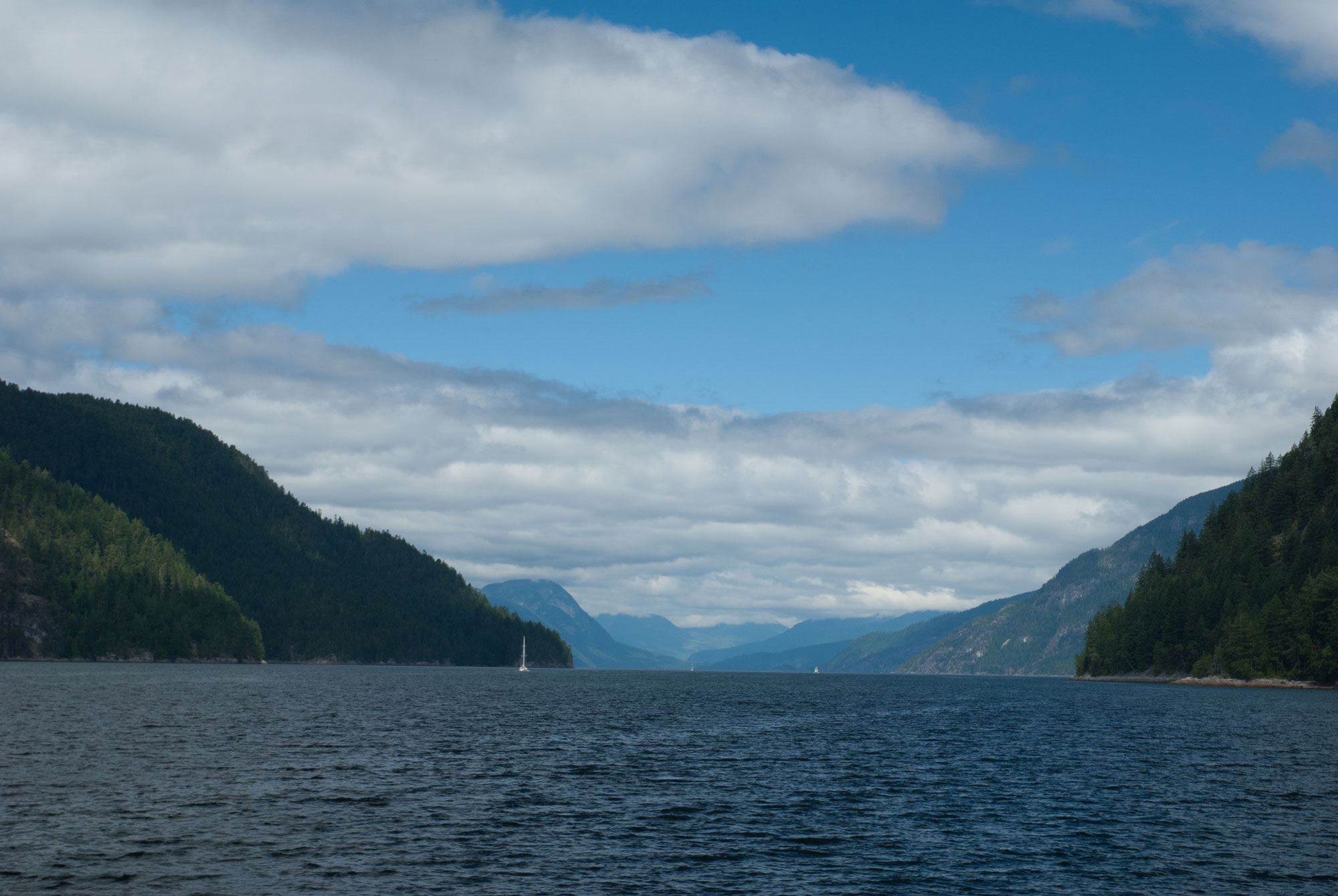
12018-10-22T19:33:29-07:00AnonymousToba Inlet15google_maps2021-12-24T10:44:11-08:0050.417547° N, -124.644641° WAnonymous
12018-09-14T19:18:51-07:00AnonymousVancouver7google_maps2021-12-24T10:44:59-08:0049.281339° N, -123.099647° WAnonymous
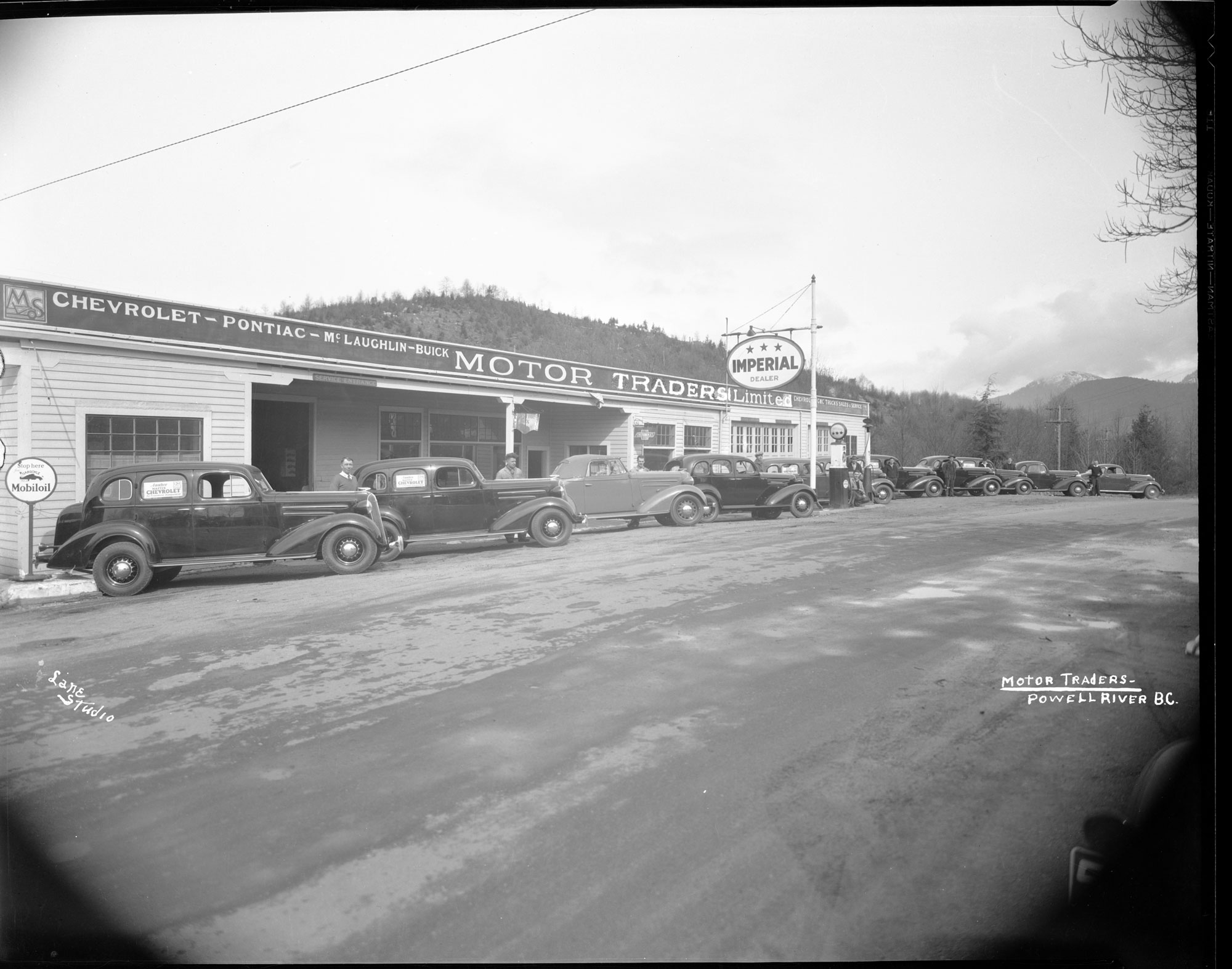
12018-09-14T19:16:57-07:00AnonymousWestview3google_maps2020-03-05T13:22:12-08:0049.837345° N, -124.527365° WCrystal Chan99590786580aa343605c172dc9dd1d991dfa67d1
12018-09-14T19:15:59-07:00AnonymousWildwood6google_maps2020-03-05T13:22:58-08:0049.890395° N, -124.552428° WCrystal Chan99590786580aa343605c172dc9dd1d991dfa67d1