Mapping California's Cities in Space and Time by Joshua Mandell
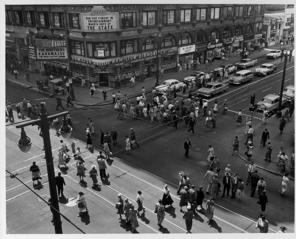
This essay reviews three such photo-mapping projects that document California cities. Photogrammar, an interactive database of Farm Security Administration-Office of War Information photographs, has a national scope but includes images of California cities between 1933 and 1945. Invincible Cities maps out Camilo José Vergara's photographs of three poor, minority communities in the U.S., most recently the city of Richmond, California. Philip J. Ethington's Los Angeles and the Problem of Historical Knowledge uses essays, photographs and maps to apply philosophical theories of history to the study of L.A.
I chose to review these sites for multiple reasons. First, each was produced by highly qualified scholars with expertise in digital humanities and photography. Another reason is that their subject matter and historical approaches overlap in interesting ways. Lastly, each represents a different stage in the web's rapid development: Photogrammar debuted in 2013, Invincible Cities went live in 2005, and Los Angeles... was published in 2000. Comparing these sites shows how photo-mapping capabilities have increased over time, and offers evidence for what they might be like in the future. Out of the three sites, Invincible Cities offers the most compelling and valuable perspective on California's urban history. But all of them make important contributions to the field.
| Previous page on path | Joshua Mandell, page 3 of 5 | Next page on path |
Discussion of "Mapping California's Cities in Space and Time by Joshua Mandell"
Add your voice to this discussion.
Checking your signed in status ...