This path was created by Constance Caddell.  The last update was by Jeanne Britton.

The Digital Piranesi

Cartography

Although he is known primarily for his illustrations of Roman ruins, Piranesi also produced many striking and innovative maps of Rome. His maps are often exercises in counterfactual history just as much as they are documents of Enlightenment cartography. In his massive map of the Campus Martius region of ancient Rome, the "Ichnographia," he includes only its ancient monuments—real and imagined, and consistently in just slightly inaccurate positions. In another view of the same region, his "Scenographia" (below), he presents only the ancient monuments that still stand in the eighteenth century, as if the intervening centuries didn't happen. The maps included here, from the Campus Martius volume and the Views of Rome, employ different methods of information display. Those from Campus Martius include several layered images, each of which represents a stage in the evolution of this region of Rome. In the digital version, a short video shows these layers coming together. The large "Plan of Rome" (below) that was included in a volume of the Views of Rome in the Opere represents buildings and monuments in various ways--as numbered items in the map itself, as items in the surrounding index, and as views that appear in other volumes of Piranesi's works. The hyperlinked version of this map attempts to reproduce these varied means of representation. 
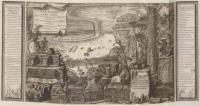
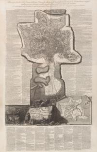
Each of the engravings here is presented in two ways: on top, as either a hyperlinked image or short video, and, below, as a high-resolution scan that allows for zooming.


This page has paths:

Contents of this path:

This page references: