Historical Maps
This page has paths:
This page references:
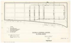
- Elmwood Park Sewer Plan
- Elmwood Park, 1894
- Meacham Park aerial, 1955
- Meacham Park aerial, current
- St. Louis County 1920
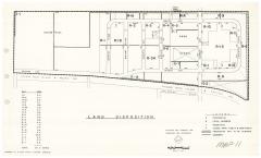
- Elmwood Park Land Disposition
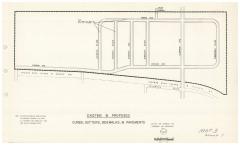
- Elmwood Park Street Plan
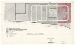
- Elmwood Park Project Plan
- Elmwood Park Structural Survey
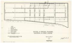
- Elmwood Park (electric and gas)
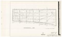
- Elmwood Park Topography
- Elmwood Park, Existing Land Use
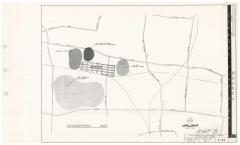
- Elmwood Park Watershed
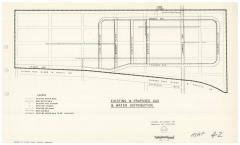
- Elmwood Park (gas and water)
- Elmwood Park Zone Plan
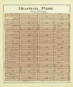
- Meacham Park 1893
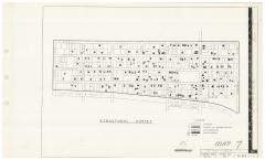
- Elmwood Park Neighborhood
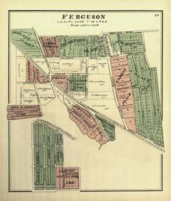
- Ferguson 1893
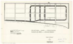
- Elmwood Park Right of Ways
__thumb.jpg)